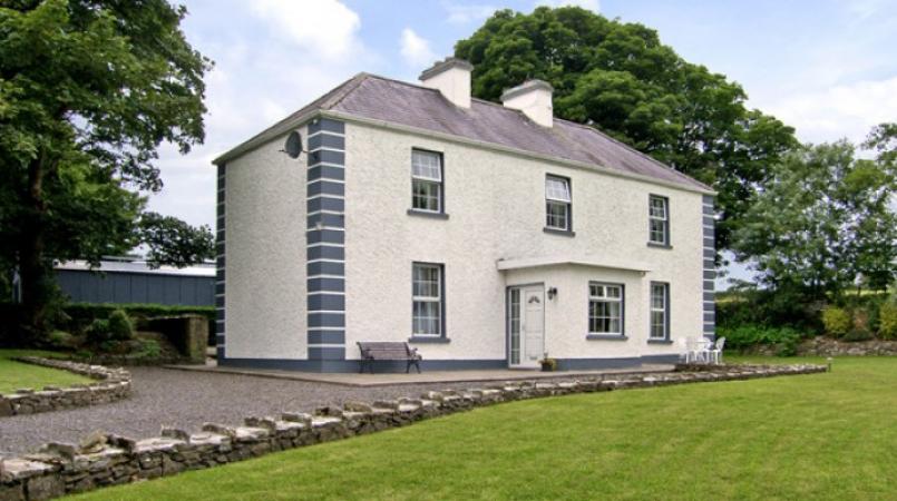
Add your own picture and explain the route, parking, gates, paths or landmarks that help people find it.
Earn 5 points after the picture is checked and accepted.
Add your photo and local directionsShare what you foundWhat is recorded here
In grassland atop low E-W ridge in upland area with good views in all directions. Moated site (TS053-026----) 70m to NE. Slight suggestion of a low rise of ground and vegetation mark indicating a circular area (approx. diam. 31m N-S; E-W) of a levelled enclosure. Shows up on aerial photograph taken in 1974 as a possible enclosure (GSI S. 581/580). The monument is clearly visible on an OS Ortho image as a circular enclosure (overall diam. c. 65m) surrounded by a fosse and outer bank.
Compiled by: Jean Farrelly
Date of revised upload: 11 August 2015
The monument record does not grant public access. Check the route and ask the landowner before entering private land.