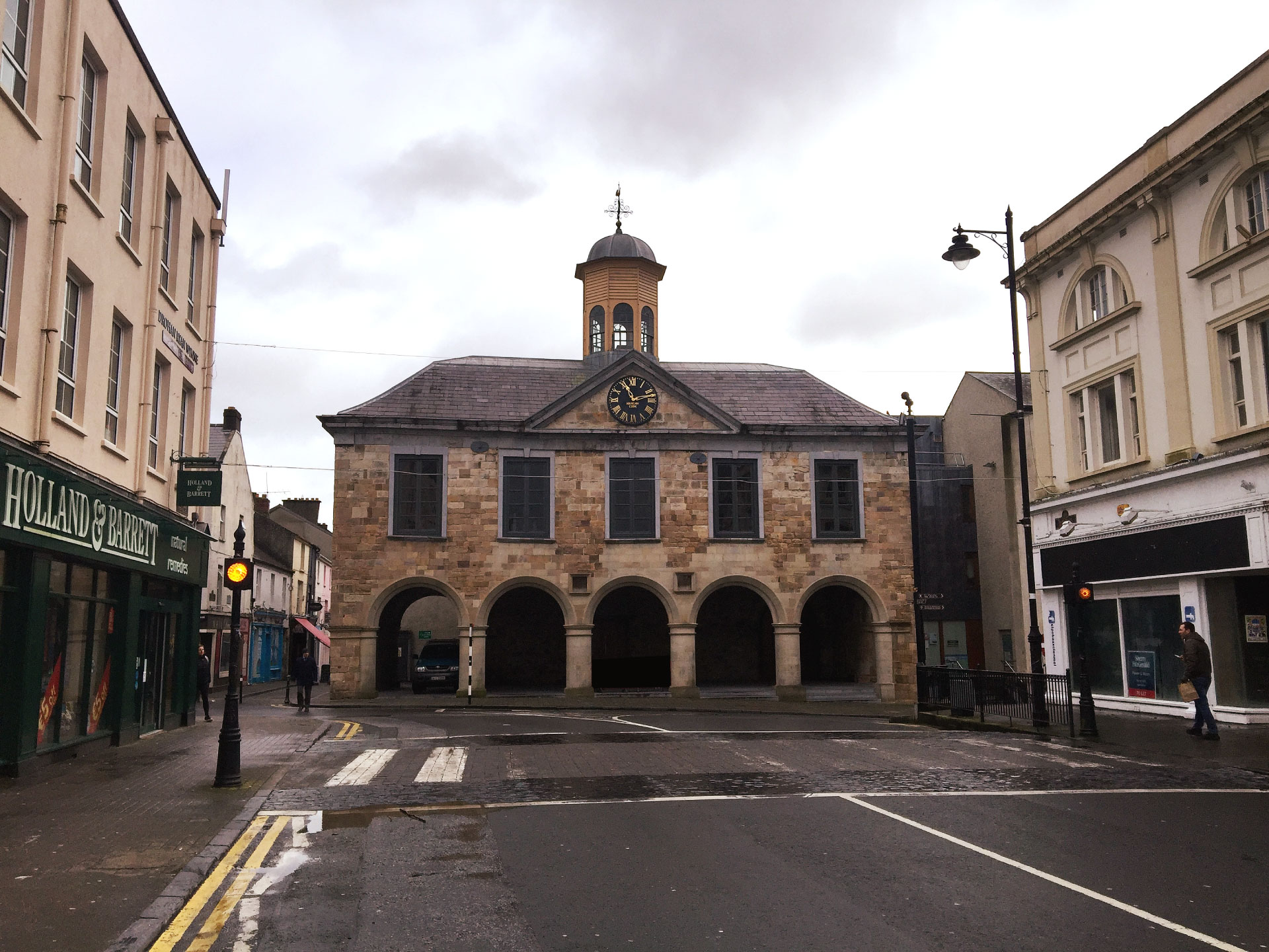
Add your own picture and explain the route, parking, gates, paths or landmarks that help people find it.
Earn 5 points after the picture is checked and accepted.
Add your photo and local directionsShare what you foundWhat is recorded here
In flat poorly drained land atop low rised of ground with good views in all directions, nearby stream to E, moated site (TS052-006----) 335m to NW and ringfort (TS052-007----) 270m to N. Possible ringwork consists of a slightly raised circular area (int. diam. 17m N-S; 14m E-W) enclosed by an earthen bank (top Wth 1m; base Wth 3m; int. H 0.1m; ext. H 1m) at N end of larger enclosure or possible bailey (int. diam. 36m N-S; 38m E-W) which is enclosed by an earth and stone bank (top Wth 1m; base Wth 3m; int. H 0.1m; ext. H 1-1.4m) and outer fosse (top Wth 5m; base Wth 2m; ext.D 0.5m). Earth and stone bank run off outer face of ringwork at E and NW, similar arrangement to a motte and bailey. The outer fosse encloses the bailey and the ringwork, possible causewayed entrance gap (Wth 3m) at S. Interesting monument which is depicted as a circular enclosure on the latest ed. OS 6-inch map but as a small enclosure within a larger enclosure on first ed. OS 6-inch map.
Compiled by: Jean Farrelly
Date of upload: 26 August 2011
The monument record does not grant public access. Check the route and ask the landowner before entering private land.