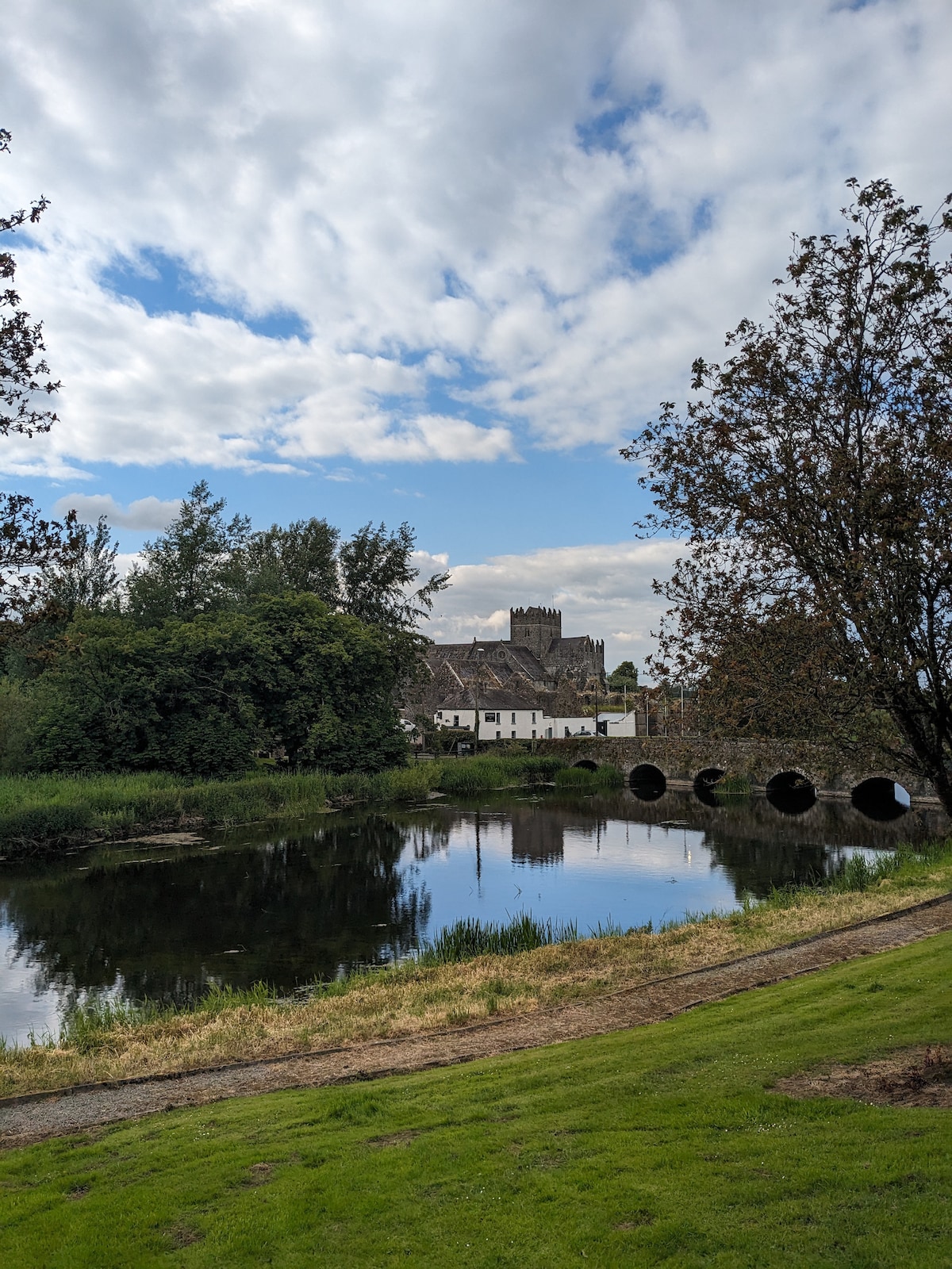
Add your own picture and explain the route, parking, gates, paths or landmarks that help people find it.
Earn 5 points after the picture is checked and accepted.
Add your photo and local directionsShare what you foundWhat is recorded here
In flat grassland with good views in all directions. Clonoulty house consists of a two-storey L-plan house with gable-ended chimney stacks which has been heavily modified in the 19th century. The L-projection off the NE angle has been replaced by a smaller outhouse and the fireplaces appears to have been moved. It is possible that this house may incorporate the earlier house described in the Civil Survey (1654-6) as 'one Thatcht house' although the whole structure may date from the early to mid 18th-century built on the site of an earlier house which is depicted on the Down Survey (1655-6) parish map of ‘Clonoltie’ (Hibernia Regnum, courtesy of Trinity College Dublin). In the terrier accompanying the Down Survey parish map it states that in 'Clonolty' there are, 'three thatch Houses' and under the list of proprietors, the townland of Clonolty is designated, 'Crowne Land' (ibid.).
See attached extract from Down Survey (1655-6) parish map of 'Clonoltie' (Hib. Reg., courtesy of Trinity College Dublin)
Compiled by: Jean Farrelly
Date of revised upload: 22 June 2020
The monument record does not grant public access. Check the route and ask the landowner before entering private land.