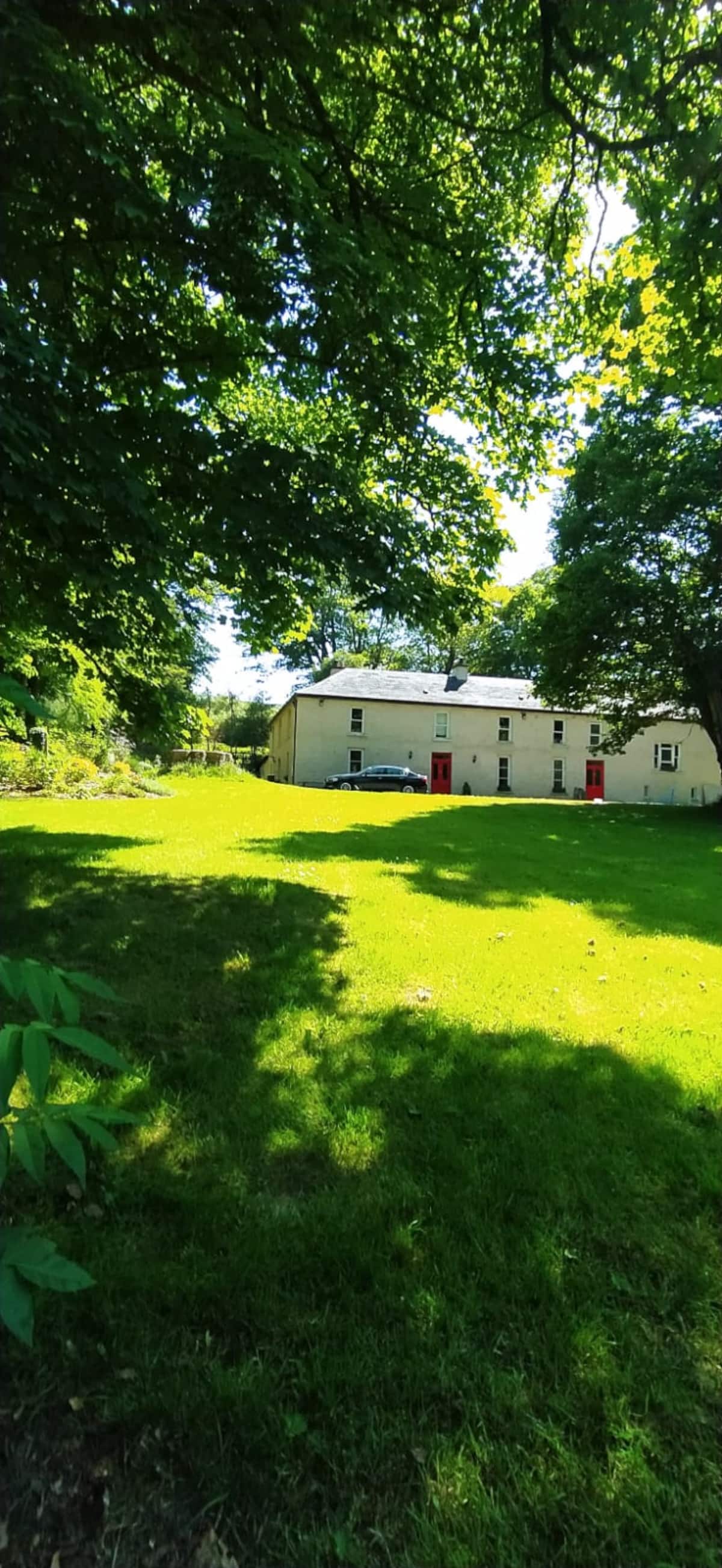
Add your own picture and explain the route, parking, gates, paths or landmarks that help people find it.
Earn 5 points after the picture is checked and accepted.
Add your photo and local directionsShare what you foundWhat is recorded here
D-shaped enclosure situated just off summit of low hillock on SE facing slope in undulating countryside with nearby enclosure (TS51-031----) c. 150m to NW. Roughly raised D-shaped enclosure (diam. 22m N-S; 33m E-W) with staright side at S (L 23m) defined by a low poorly preserved bank destroyed at E with possible entrance gap (Wth 4.5m) at S. No outer fosse visible.
Compiled by: Jean Farrelly
Date of upload: 26 August 2011
The monument record does not grant public access. Check the route and ask the landowner before entering private land.