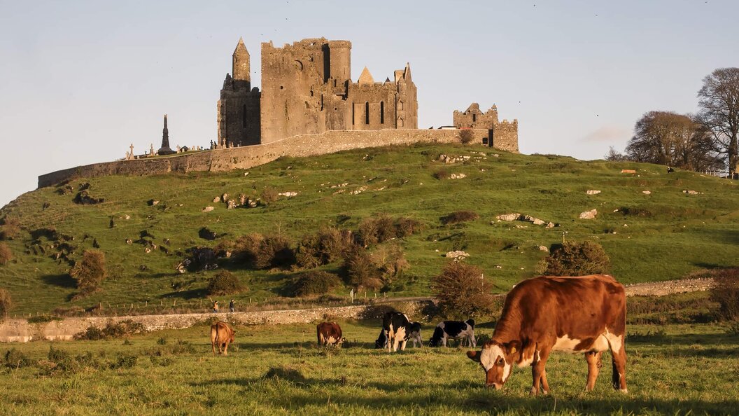
Add your own picture and explain the route, parking, gates, paths or landmarks that help people find it.
Earn 5 points after the picture is checked and accepted.
Add your photo and local directionsShare what you foundWhat is recorded here
On flat grassland at edge of steep fall in ground to E overlooking river valley in upland region with good views of valley top N and E, higher ground to S and W. nearby ringfort (TS049-015----) 165m to W and enclosure (TS049-016----) 180m to SW. Barely visible outline of circular enclosure which has been levelled. Field boundary running NW-SE depicted as forming W boundary of enclosure now present as wire fence. Enclosure was probably levelled when field boundary was removed.
Compiled by: Jean Farrelly
Date of upload: 26 August 2011
The monument record does not grant public access. Check the route and ask the landowner before entering private land.