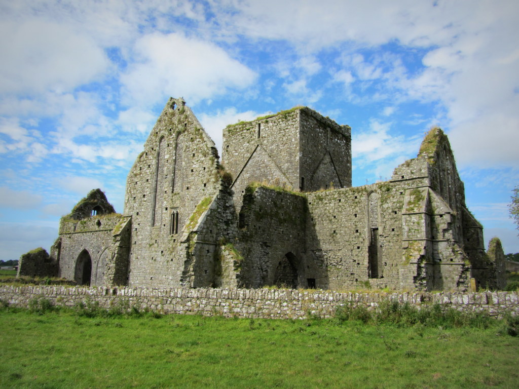
Add your own picture and explain the route, parking, gates, paths or landmarks that help people find it.
Earn 5 points after the picture is checked and accepted.
Add your photo and local directionsShare what you foundWhat is recorded here
In undulating terrain, on top of a slope with falls away to the NE and SW, under tillage. An enclosure identified as a roughly circular cropmark on an aerial photograph (ASI AP Flight 20, 11.07.2005). On the 2nd (1903) ed. OS 6-inch map the SW-W-N portion of the bank of the enclosure is indicated with a field boundary running NE-SW along the SE edge and NW-SE along the SW edge. According to the landowner these field boundaries where removed at least 30 years ago. There was no tradition of a monument associated with the field. The area outlined by the cropmark is still faintly visible as a slightly raised area, though no diameters were possible.
Compiled by: Jean Farrelly
Date of upload: 26 August 2011
The monument record does not grant public access. Check the route and ask the landowner before entering private land.