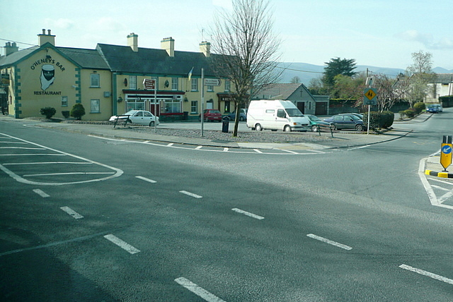
Add your own picture and explain the route, parking, gates, paths or landmarks that help people find it.
Earn 5 points after the picture is checked and accepted.
Add your photo and local directionsShare what you foundWhat is recorded here
A peatland survey carried out in 2006 by Archaeological Development Services recorded a togher measuring in ‘width 1.82–2.5m, depth 0.06–0.8m, length 15m and was dated to AD550–710’ (Whitaker 2006, 28). Described by Whitaker (2006, 28-9) as ‘this togher was visible at two sightings on the surface of adjoining fields. It was composed of transversely laid brushwood and roundwood elements. It was orientated northeast–southwest and was abutted by TN-BLG006 on its northeastern side. The exact nature of the relationship between the two structures was not discernible, due to the poor condition of the wood, which had been extensively milled.
TN-BLG005a, 219545,152793, Width 1.82m, Depth 0.05m
This sighting was located on the field surface, southwest of TN-BLG005b. It was composed of a number of very fragmentary transversely laid roundwood and brushwood elements. The elements were in a very poor state of preservation and measured 0.05 to 0.15m in length and 0.01 to 0.09m in diameter. The underlying peat was composed of moderately humified Sphagnum peat with occasional Eriophorum and Calluna inclusions. A single piece was identified as hazel.
TN-BLG005b, 219564, 152799, Width 2.5m, Depth 0.08m
This sighting was located on the field surface, to the northeast of TN-BLG005a and directly southwest of TN-BLG006. It was composed of eleven transversely laid roundwood and brushwood elements. The elements were closely placed, 0.02 to 0.3m apart. The wood was fairly well preserved, but the upper sides had been damaged by machinery. The elements measured 0.15 to 0.95m in length and 0.02 to 0.08m in diameter. The underlying peat was composed of poorly humified Sphagnum peat with occasional Eriophorum. A single piece of wood was identified as birch’.
Compiled by: Caimin O’Brien
Date of upload: 20 August 2012
The monument record does not grant public access. Check the route and ask the landowner before entering private land.