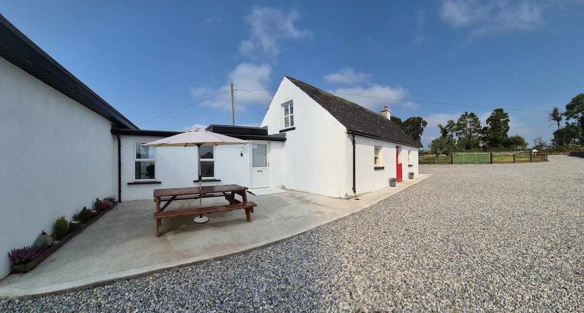
Add your own picture and explain the route, parking, gates, paths or landmarks that help people find it.
Earn 5 points after the picture is checked and accepted.
Add your photo and local directionsShare what you foundWhat is recorded here
Situated on a gentle E-facing slope in undulating pastureland. A plantation-type house (TN047-051) is located c. 100m to NE. The site is described in the Civil Survey (1654-6) as 'a stone house and a Bawne inhabitted yett wanting repaire' (Simington 1931, vol. 1, 55). When visited by the Ordnance Survey in the mid-nineteenth century portion of the house (TN047-052001) and bawn were still visible as 'an old building in ruins, commonly called Stone ... the materials of which are limestone and lime and sand mortar. Two gables and one sidewall of the structure are still seen... It appears this was a dwelling (or mansion) house as chimneys are still remaining on the ruin' (O'Flanagan 1930, vol. 2, 192). The dimensions given in the OS Letters for the building are 54ft 2in (16.5m) long by 26ft (c. 8m) wide, 20ft (6m) high and the walls 4ft (1.2m) thick. A bawn wall which is described as having two arches ran off one of the gables for a length of 54ft (16.5m) (ibid). This length of bawn wall (T 1.6m) still survives. Neither arch seems suitable as an entrance as they are too low - the more southerly is 1.8m wide and the larger is 4m wide with voussoirs springing almost from ground level. The N face of the bawn has an oversailing wall (H c. 2m) which projects 0.2m over the lower portion of wall (H 3m), the function of which is unclear. The S portion of the bawn wall has been removed by the landowner c. 20 years ago and had contained a gateway. There are a number of stone walls in the immediate vicinity which appear to be of nineteenth-century date, however, some earlier portions of wall may be incorporated.
The above description is derived from 'The Archaeological Inventory of County Tipperary. Vol. 1 - North Tipperary' compiled by Jean Farrelly and Caimin O'Brien (Dublin: Stationery Office, 2002). In certain instances the entries have been revised and updated in the light of recent research.
Date of upload/revision: 22 September 2008
This remains an important historical record, but the official description says the monument is no longer visible or has been destroyed.
The monument record does not grant public access. Check the route and ask the landowner before entering private land.