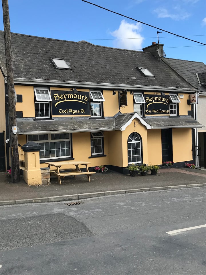
Add your own picture and explain the route, parking, gates, paths or landmarks that help people find it.
Earn 5 points after the picture is checked and accepted.
Add your photo and local directionsShare what you foundWhat is recorded here
Situated on a gentle E-facing slope in undulating terrain in pastureland with a fortified house (TN047-052001) located c. 100m to the SW. A small plantation-type stone house, roughly rectangular (8.7m N-S; 4.76m E-W between towers externally), composed of roughly coursed limestone rubble, with a three-quarter-round tower at each angle. The S length of wall survives with an external facing which has a base batter (H 0.5m; T 0.15m). Only the SW angle tower is exposed - the remaining towers and walls are covered under rubble with only the faint outline visible. The site is not marked on the 1st (1843) ed. OS 6-inch map and is depicted as a mound on the 1952-3 ed. The angle tower and lengths of wall were exposed c. 1990 by the landowner who was removing material for road metalling. Removal of rubble material was halted as the building became apparent. This house compares in plan and scale to plantation houses in the north of the country, such as at Ballinafad, Co. Sligo and Roughan, Co. Tyrone. Described in the Civil Survey (1654-6) as 'a stone house and a bawne inhabited yett wanting repaire' (Simington 1931, vol. 1, 55). James Butler of Brittas is listed as proprietor in 1640 (ibid.).
The above description is derived from 'The Archaeological Inventory of County Tipperary. Vol. 1 - North Tipperary' compiled by Jean Farrelly and Caimin O'Brien (Dublin: Stationery Office, 2002). In certain instances the entries have been revised and updated in the light of recent research.
Date of upload/revision: 22 September 2008
The monument record does not grant public access. Check the route and ask the landowner before entering private land.