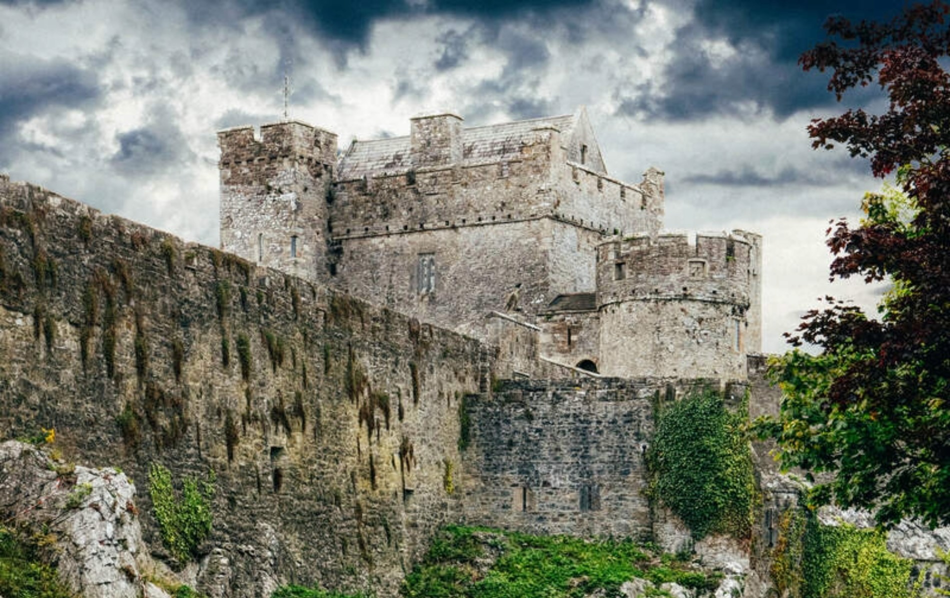
Add your own picture and explain the route, parking, gates, paths or landmarks that help people find it.
Earn 5 points after the picture is checked and accepted.
Add your photo and local directionsShare what you foundWhat is recorded here
Situated on the NW-facing slope of a hill which extends gently down to the River Suir. Described in the Civil Survey (1654-6) as 'the stump of a Castle…out of repaire' (Simington 1931, vol. 1, 55). Theobald Purcell is listed as proprietor in 1640 (ibid.). The building was in ruins when visited by the Ordnance Survey who described it as 'an old castle which was built of lime and sand mortar' with walls four feet (1.2m) thick. The walls, though largely demolished, survived to a height of ten feet (3m) and the entrance to the ground floor was through an arch near the NE angle of the N wall (O'Flanagan 1930, vol. 2, 192). According to two local sources the castle is completely gone with no visible trace above ground. One of the sources said that there was a tradition of a church at the castle location. Site not seen at close quarters because of 'wild' bull in field.
The above description is derived from 'The Archaeological Inventory of County Tipperary. Vol. 1 - North Tipperary' compiled by Jean Farrelly and Caimin O'Brien (Dublin: Stationery Office, 2002). In certain instances the entries have been revised and updated in the light of recent research.
Date of upload/revision: 22 September 2008
This remains an important historical record, but the official description says the monument is no longer visible or has been destroyed.
The monument record does not grant public access. Check the route and ask the landowner before entering private land.