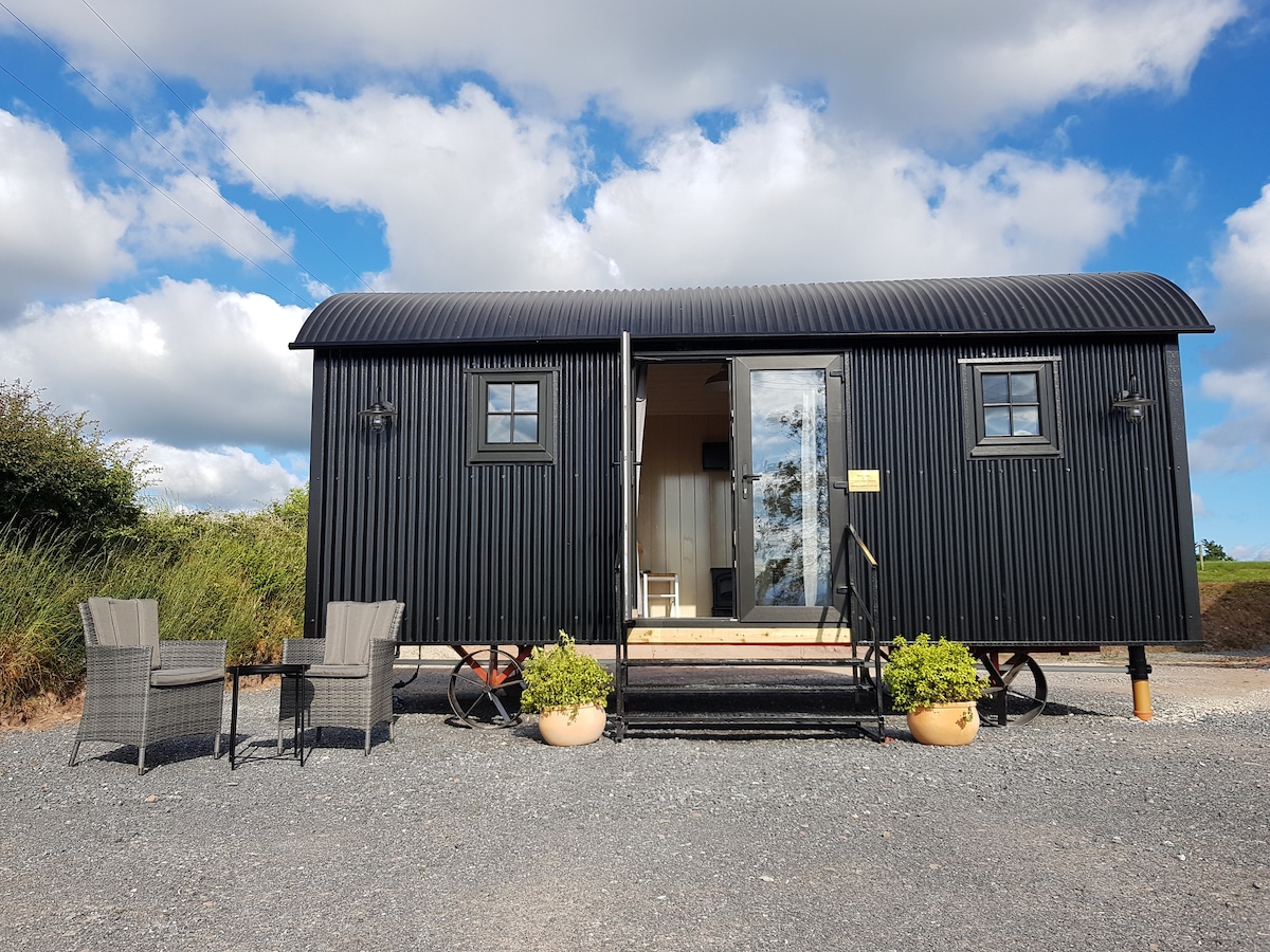
Add your own picture and explain the route, parking, gates, paths or landmarks that help people find it.
Earn 5 points after the picture is checked and accepted.
Add your photo and local directionsShare what you foundWhat is recorded here
Site identified on aerial photograph taken on 11/8/1996 by Michael Moore (ASIAP 43(25-27)). Situated on flat grassland with good views in all directions. Barely visible remains of a circular enclosure (approx. diam. 25m N-S ; 20m E-W) defined by a dark vegetation cropmark (Wth 3m) enclosing a slighlty raised hillock (H 0.2m), no other features visible, cropmark does not fully enclose the low hillock and is visible from W through N to E only. Not indicated on first ed. OS 6-inch map. Site of levelled enclosure.
Compiled by: Jean Farrelly and Caimin O'Brien
Date of upload/revision: 22 September 2008
The monument record does not grant public access. Check the route and ask the landowner before entering private land.