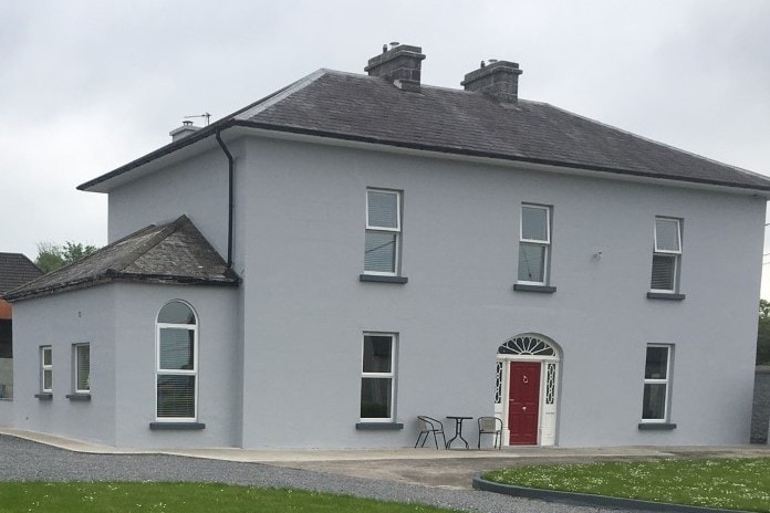
Add your own picture and explain the route, parking, gates, paths or landmarks that help people find it.
Earn 5 points after the picture is checked and accepted.
Add your photo and local directionsShare what you foundWhat is recorded here
In 2000 archaeological testing by Richard O'Brien of a development c. 30m to the southwest of a levelled ringfort (TN041-062), revealed a large sub-soil cut ditch (Wth 3.7m) feature and a possible associated hearth feature (TN041-062001). The ditch was not investigated further and no finds were recovered. This testing was carried out under Licence No. 00E0892 (Bennett 2002, 325).
The monument record does not grant public access. Check the route and ask the landowner before entering private land.