Add your own picture and explain the route, parking, gates, paths or landmarks that help people find it.
Earn 5 points after the picture is checked and accepted.
Add your photo and local directionsShare what you foundWhat is recorded here
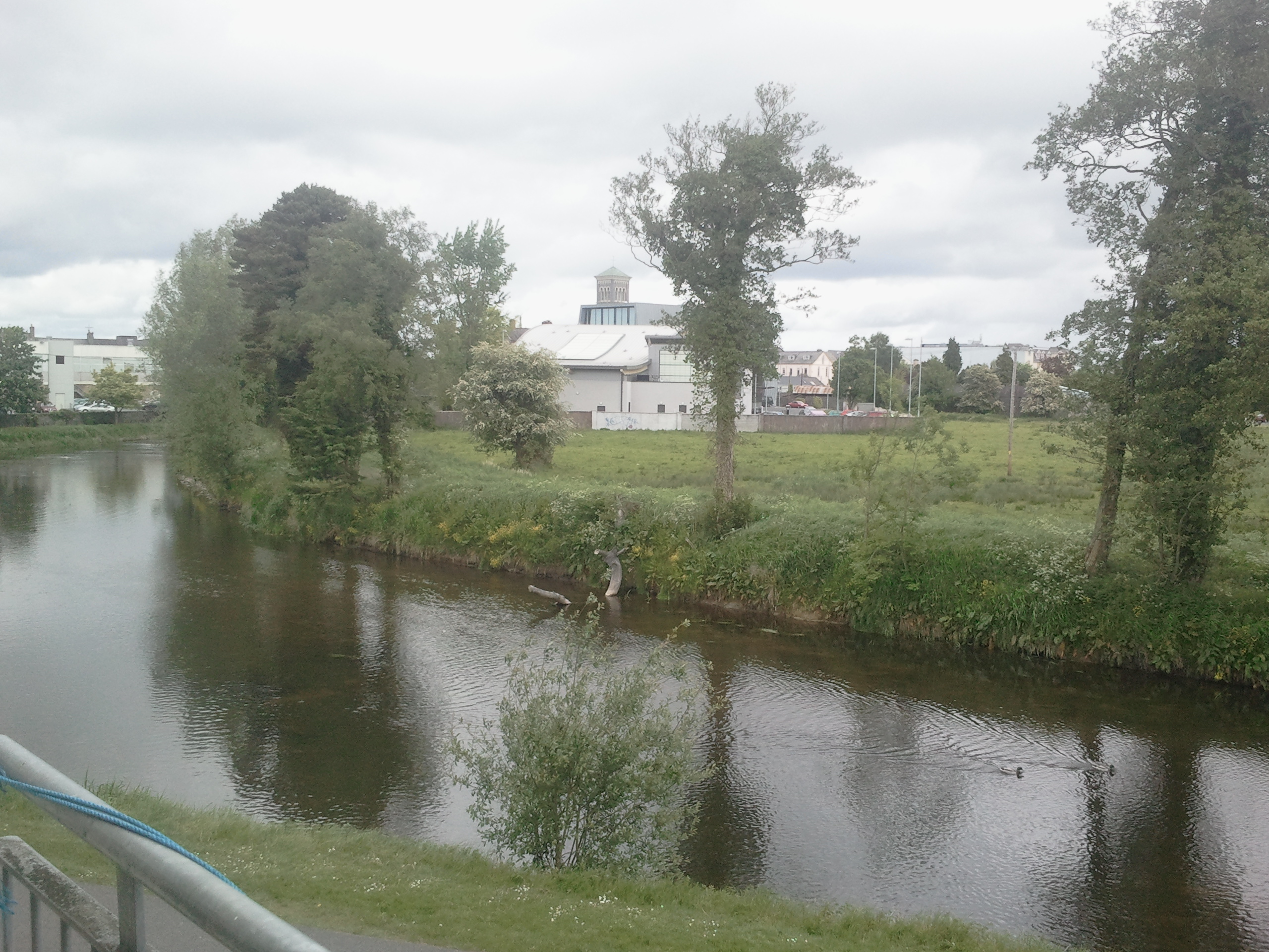
Site of levelled motte castle situated in the modern car park at the W end of Thurles town (TN041-042----) 35m N of 'Black Castle' (TN041-042001-). Circular outline of levelled motte castle depicted on 1st ed. OS 6-inch map, the location of the monument is preserved in the name of 'Moat Lane' located immediately to the N.
No surface remains visible of the late 12th or early 13th century Anglo-Norman earth and timber motte castle which was destroyed c. 1800 (O'Flanagan 1930, vol. 3, 1, 7). According to the OS Letters the earthen motte stood c. 30m high (O'Flanagan 1930, vol. 2, 7). The motte castle was located inside or adjoining the bawn of the 15th century 'Black Castle' also known as 'Thurles Castle'. The earthen mound or motte was described in 1752 as 'a mount with a winding ascent' (Stokes 1891, 174). From this reference it is clear that the motte was converted into a landscape feature belonging to the gardens of 'Thurles Castle'. In the early 1900s the location of the motte and the gardens were described as following; 'From information on the spot it appears that there used to be a motte (TN041-042004-) in the gardens behind the castle' (Armitage 1912, 346).
The earth and timber motte castle was constructed in the late 12th century by Theobald Walter which in the 13th century became the manorial castle or administrative centre of the newly created Anglo-Norman Manor of Thurles (Bradley 1985, 54; Empey 1989, 32, 36). The earliest reliable datable reference to a castle (TN041-042013-) in Thurles is in a charter granted by Theobald Walter, who died in 1206 (Curtis 1933, 18, 34). The manor of Thurles is described in 1338 as consisting of 'a chamber, a chapel, a kitchen of stone walls covered with shingle, a bakehouse with a stone wall and covered with straw of no value because no one wishes to rent them.' (Cal. inq. post mortem, vol. 8, no. 184).
The above description is derived from 'The Archaeological Inventory of County Tipperary. Vol. 1 - North Tipperary' compiled by Jean Farrelly and Caimin O'Brien (Dublin: Stationery Office, 2002). In certain instances the entries have been revised and updated in the light of recent research.
Compiled by: Jean Farrelly and Hugh Carey
Revised by: Caimin O'Brien
Date of revised upload: 10 August 2018
This remains an important historical record, but the official description says the monument is no longer visible or has been destroyed.
The monument record does not grant public access. Check the route and ask the landowner before entering private land.