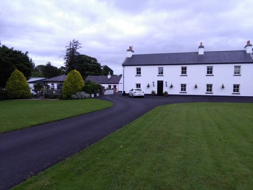
Add your own picture and explain the route, parking, gates, paths or landmarks that help people find it.
Earn 5 points after the picture is checked and accepted.
Add your photo and local directionsShare what you foundWhat is recorded here
Situated on the N-facing slope of an E-W ridge in undulating countryside overlooking a nearby river to the N. A raised circular area (diam. 35m E-W) enclosed by an earth and stone bank (Wth 3m; int. H 0.2-0.4m; ext. H 1-1.5m) mainly reduced to a scarp with a possible destroyed entrance gap (Wth 11m) at NE. No visible trace of a fosse. Possible wall-footings protrude from the top of the bank with evidence of external stone-facing best preserved at E.
The above description is derived from 'The Archaeological Inventory of County Tipperary. Vol. 1 - North Tipperary' compiled by Jean Farrelly and Caimin O'Brien (Dublin: Stationery Office, 2002). In certain instances the entries have been revised and updated in the light of recent research.
Date of upload/revision: 22 September 2008
This remains an important historical record, but the official description says the monument is no longer visible or has been destroyed.
The monument record does not grant public access. Check the route and ask the landowner before entering private land.