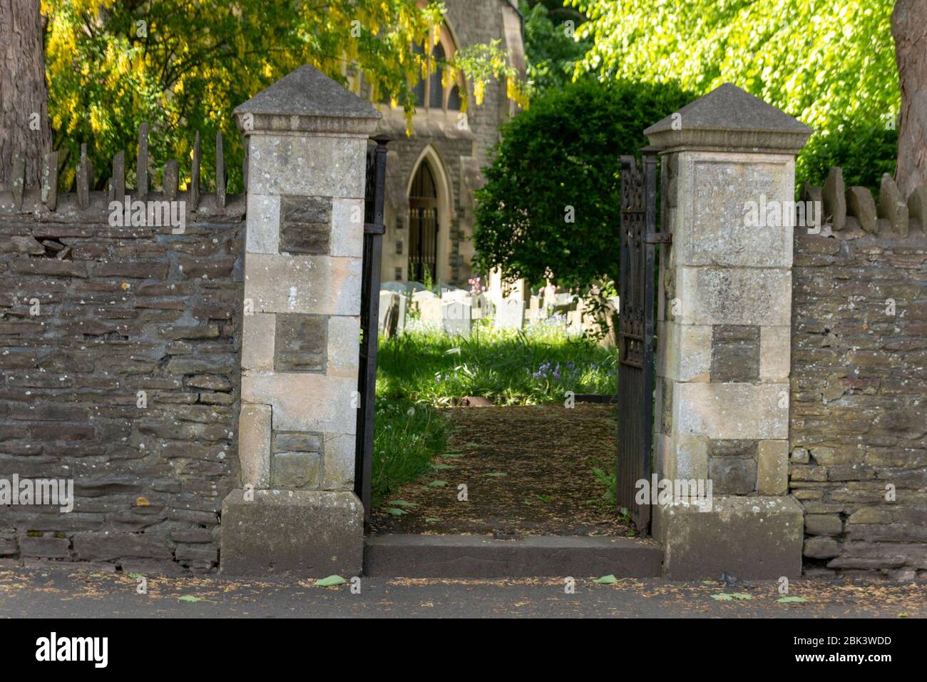
Add your own picture and explain the route, parking, gates, paths or landmarks that help people find it.
Earn 5 points after the picture is checked and accepted.
Add your photo and local directionsShare what you foundWhat is recorded here
Situated on a gentle rise of ground in undulating countryside with a nearby ringwork (TN034-022) to the W. According to local tradition this was the site of the Synod of Ráith Bressail in 1111 (ITA 1942). Listed in the ecclesiastical taxation of the Diocese of Cashel in 1302 (CDI, vol. 5, 284). The poorly preserved remains of a nave (ext. dims. 17.65m E-W; 7.3m N-S) and chancel (ext. dims. 7.3m N-S; 12.85m E-W) church (ext. dims. 7.3m N-S; 30.5m E-W; wall T 0.8m) with a transept (ext. dims. 7.4m N-S; 10.9m E-W; wall T 0.9m) off the S wall of the nave. The walls are constructed with roughly coursed sandstone and limestone rubble with a prominent base-batter on the E gable. The E window and chancel arch are destroyed with no visible remains of the piscina described in the ITA survey (1942). This survey also described a destroyed segmental-arched doorway at the W end of the S wall of the nave. This entrance still survives and acts as the main doorway into the nave of the church. The transept is accessed from a pointed doorway in its W gable and has three single-light lancets in the S wall and a destroyed E window. A burial vault was inserted into the transept in the nineteenth century. The main access from the nave into the transept may have been blocked up and a new W doorway inserted in the W gable of the transept when the burial bault was constructed. The church is located in the S quadrant of a large rectangular shaped graveyard (TN034-023001) which contains 18th and 19th century memorials.
The above description is derived from 'The Archaeological Inventory of County Tipperary. Vol. 1 - North Tipperary' compiled by Jean Farrelly and Caimin O'Brien (Dublin: Stationery Office, 2002). In certain instances the entries have been revised and updated in the light of recent research.
Date of upload/revision: 22 September 2008
The monument record does not grant public access. Check the route and ask the landowner before entering private land.