Add your own picture and explain the route, parking, gates, paths or landmarks that help people find it.
Earn 5 points after the picture is checked and accepted.
Add your photo and local directionsShare what you foundWhat is recorded here
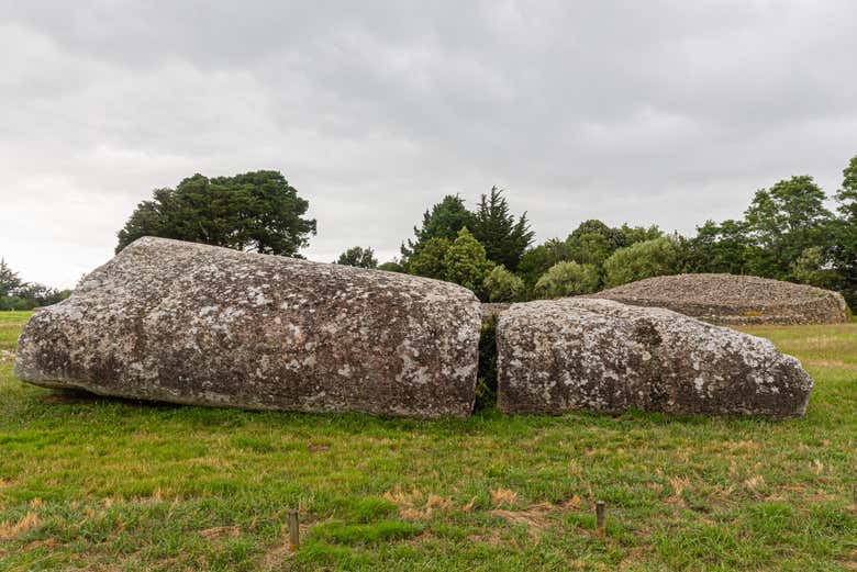
There is no recognisable ancient feature at the position indicated on the OS 6-inch map which is on the E side of a field-bank at the foot of a S-facing slope just N of the Mulkear River. An OS Name Book (c.1840) records that the name applied to a 'a heap of stones covering about a square perch [c.5 m?] of ground'. An account in a later OS Name Book (1904) claims that the feature in question was a horizontally laid stone. Crawford (1910, 41) noted a large stone buried in a field bank a projecting corner of which rested on a smaller stone. The nature of the feature referred to is uncertain. (De Valera and Ó Nualláin 1982, 97-8, No.5)
The above description is derived from 'The Archaeological Inventory of County Tipperary. Vol. 1 - North Tipperary' compiled by Jean Farrelly and Caimin O'Brien (Dublin: Stationery Office, 2002). In certain instances the entries have been revised and updated in the light of recent research.
Date of upload/revision: 22 September 2008
The monument record does not grant public access. Check the route and ask the landowner before entering private land.