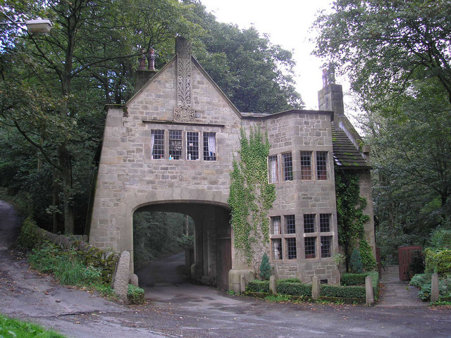
Add your own picture and explain the route, parking, gates, paths or landmarks that help people find it.
Earn 5 points after the picture is checked and accepted.
Add your photo and local directionsShare what you foundWhat is recorded here
Situated on rock outcrop in an upland area with extensive views. Described in the Civil Survey (1654-6) as 'the walls of a castle and a Barbicon' (Simington 1934, vol. 2, 179). John Ryan is listed as proprietor in 1640 (ibid.). Present remains consist of a rectangular tower house (ext. dims. 8.7m N-S; 6.6m E-W; wall T 1.7m) three storeys high built with roughly coursed sandstone rubble with a high pronounced base-batter. There is good evidence of lime plaster on the internal faces of the walls of the tower house chambers. The external face of the S wall is destroyed and originally contained a round-arched rebated limestone doorway of which only one jambstone survives on the W side with evidence of a yett-hole. The main doorway led into a lobby protected by an overhead murder-hole. Access to spiral stairs (now destroyed) in the SW angle was via this lobby, with the main ground-floor barrel-vaulted chamber being reached via a round-arched limestone doorway in the N wall of the lobby. This chamber has a single-light flat-headed window set into the centre of the W, N and E walls with a brick fireplace inserted into the N end of the W wall. The first floor, which was accessed through a doorway in the centre of the S wall, had a wooden ceiling carried in the thickness of the wall. This floor was lit by single-light flat-headed windows set into the centre of the W, N and E walls. The second floor has a barrel-vaulted ceiling and is accessed from a round-arched limestone doorway in the centre of the S wall. In the NW angle there is a flat-headed doorway, now inaccessible, which probably led to a garderobe. Nineteenth-century outhouses now obscure a possible bawn area (TN031-048002-) located to the N and W of the tower.
The above description is derived from 'The Archaeological Inventory of County Tipperary. Vol. 1 - North Tipperary' compiled by Jean Farrelly and Caimin O'Brien (Dublin: Stationery Office, 2002). In certain instances the entries have been revised and updated in the light of recent research.
Date of upload/revision: 22 September 2008
This remains an important historical record, but the official description says the monument is no longer visible or has been destroyed.
The monument record does not grant public access. Check the route and ask the landowner before entering private land.