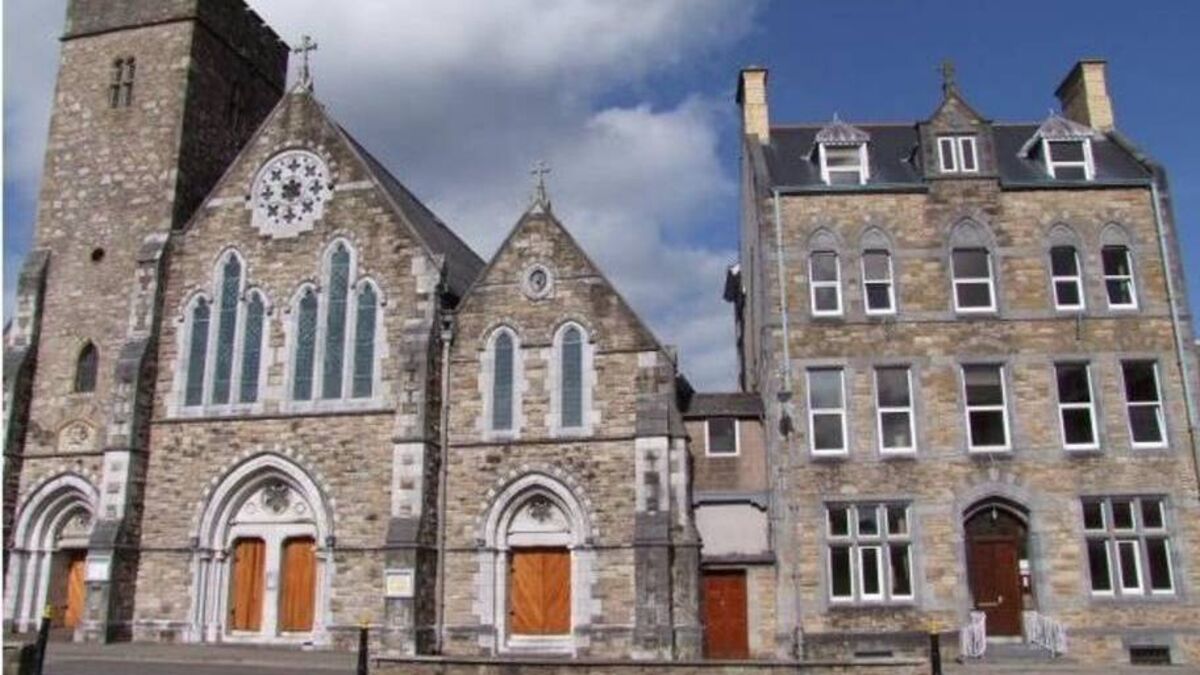
Add your own picture and explain the route, parking, gates, paths or landmarks that help people find it.
Earn 5 points after the picture is checked and accepted.
Add your photo and local directionsShare what you foundWhat is recorded here
Situated on a low rise in undulating land in a mountainous region with Barnane tower house (TN028-046----) and Barnane House 610m to the NW. Earthwork (TN028-054----) located 260m to SE. The church of 'Bernaneli' [Barnane Ely]' is listed in the ecclesiastical taxation of the Diocese of Cashel in 1302 where it is valued at 4 marks per year with a tenth owed amounting to 5s. 4d. (Cal. doc. Ire, 283). Poorly preserved remains of a single cell undivided rectangular church (ext. dims. 9.5m N-S; 17m E-W; wall T 1.1m) standing in the N sector of Barnane graveyard (TN028-053002-). The N wall of the church formed the N boundary wall of the enclosing graveyard as shown on the 1840 ed. OS 6-inch map. The church is built with roughly coursed limestone rubble. Only the low wall footings survive of the N and S walls, the ivy-covered W gable stands c. 0.8m high and is featureless, while the better preserved E gable is covered in ivy making examination of this wall impossible. The E splay of a window at the E end of N wall is the only architectural feature in situ. The remains of a buttress can be seen projecting S from the E end of the S wall adjacent to the SE angle of the church. A partition wall of 19th century date runs S off the SE angle of the church which separates the burial ground of the Carden family from the other memorials in the graveyard. Inside the church ruins are several headstones of 19th century date. Several architectural fragments belonging to the medieval church have been reused as possible grave markers and are visible protruding from the surface of the graveyard. Cut stone from the medieval church ruins has been reused in the fabric of the graveyard wall. Two nineteenth-century memorial plaques belonging to the Carden family of Barnane House has been inserted into the external face of the E gable of the church. The private burial ground of the Carden family is located immediately E of the church.
The above description is derived from 'The Archaeological Inventory of County Tipperary. Vol. 1 - North Tipperary' compiled by Jean Farrelly and Caimin O'Brien (Dublin: Stationery Office, 2002). In certain instances the entries have been revised and updated in the light of recent research.
Compiled by: Caimin O'Brien
Date of revised upload: 27 February 2015
The monument record does not grant public access. Check the route and ask the landowner before entering private land.