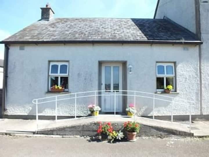
Add your own picture and explain the route, parking, gates, paths or landmarks that help people find it.
Earn 5 points after the picture is checked and accepted.
Add your photo and local directionsShare what you foundWhat is recorded here
Situated on a natural hillock in an upland area with a nearby stream to the SSW. According to the Civil Survey (1654-6) a 'ruined Castle, a decaying mill, one Orchard and three Cabbins' belonging to Theobald Butler was located in this townland (Simington 1934, vol. 2, 236). A castle with adjacent dwelling is depicted on the Down Survey map in the vicinity of Millbrook House. Millbrook House, though ruined, is an eighteenth/nineteenth-century house with traces of late sixteenth or seventeenth-century stonework in the ruined outbuildings and gate pier. Possible seventeenth-century roof timbers are reused on the roofing of the outhouses. The main house is rendered and the interiors were not accessible. No visible remains of the castle at ground level.
The above description is derived from 'The Archaeological Inventory of County Tipperary. Vol. 1 - North Tipperary' compiled by Jean Farrelly and Caimin O'Brien (Dublin: Stationery Office, 2002). In certain instances the entries have been revised and updated in the light of recent research.
Compiled by: Jean Farrelly
Revised by: Caimin O'Brien
Date of revised upload: 12 July 2016
The monument record does not grant public access. Check the route and ask the landowner before entering private land.