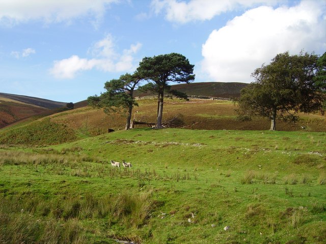
Add your own picture and explain the route, parking, gates, paths or landmarks that help people find it.
Earn 5 points after the picture is checked and accepted.
Add your photo and local directionsShare what you foundWhat is recorded here
Surrounding the summit of Knockadigeen Hill. A grass-covered hill with young forestry, planted c. 1991, growing over much of the hillfort. The ramparts are damaged by forestry ploughing. A univallate, oval hillfort (diam. c. 190m N-S; c. 280m E-W) with defences consisting of a fosse (Wth 3.6m; D 0.6m), bank (Wth 4.8m; int. H 0.18m; ext. H 1.32m) and outer fosse (Wth 3.2m; D 0.18m). An E-W townland boundary (Wth 0.5-0.6m, H 0.4-0.5m) intersects the site at W. The NE quadrant is well preserved and forestry has not encroached on this area. The defences in the NW sector consist of a slight internal fosse (Wth 2.5m), a bank (Wth 3.9m; int. H 0.2m; ext. H 1.87m) and an outer fosse (Wth 6.3m; D 0.25m) with traces of an external bank (Wth 4m; int. H 0.16m; ext. H 1m) at NNW only.
The hillfort was recently described in the Atlas of Hillforts of Britain and Ireland as following; 'Univallate contour fort surrounding the summit of domed mountain at the N edge of the Silvermines Mountain range. Ballincurra hillfort is positioned 1.4km to SW. Enclosing elements comprise two ditches with an intervening bank and a possible outer bank at NNW. There are no obvious entrance features recorded. Possible small enclosure within interior to E, identified on aerial photography (GSIAP R 119/120) but not visible at ground level. No other features visible on the surface. Ramparts survive well throughout its circuit. Interior under dense gorse and heather growth. Monument surveyed by Farrelly and O'Brien (2002). The site is not depicted in any historic mapping. Center of the hillfort is bisected by the townland boundary between Knockadigeen and Cloghonan.' (http://hillforts.arch.ox.ac.uk/records/IR0713.html)
The above description is derived from 'The Archaeological Inventory of County Tipperary. Vol. 1 - North Tipperary' compiled by Jean Farrelly and Caimin O'Brien (Dublin: Stationery Office, 2002). In certain instances the entries have been revised and updated in the light of recent research.
Compiled by: Jean Farrelly and Caimin O'Brien
Revised by: Caimin O'Brien
Date of revised upload: 7 February 2020
The monument record does not grant public access. Check the route and ask the landowner before entering private land.