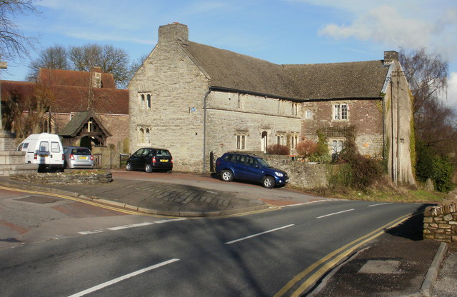
Add your own picture and explain the route, parking, gates, paths or landmarks that help people find it.
Earn 5 points after the picture is checked and accepted.
Add your photo and local directionsShare what you foundWhat is recorded here
Originally located on Friar's Island on the River Shannon until its removal and re-erection in the grounds of Killaloe RC church (CL045-033015-) in 1929. The church was moved due to flooding of the River Shannon by the ESB for the Ardnacrusha power station and was rebuilt in 1930 in the grounds of Killaloe RC church. Multi-period church dedicated to St. Molua of Kyle (LA015-023001-) in Clonfertmulloe, Co. Laois who died in the year 609. His feastday is celebrated on the 4th of August (Ó Riain 2011, 492.)
Present remains of the church (now standing in the village of Killaloe) consists of a 10th/11th century nave (ext. dims. 5.57m N-S; 8.2m E-W; wall T 0.8m) and 12th century chancel (4.2m N-S; 4m E-W; wall T 1.05m) parish church. The nave is the earlier structure with the chancel added later (Leask 1930, 130-35), as revealed when the church was being moved to its present location. External wall plaster was uncovered between the two cells when the church was being dismantled (Ó Carragáin 2010, 309).
The nave walls are constructed with uncoursed cyclopean sandstone masonry while the chancel walls are constructed with roughly squared stones of smaller size. The chancel has a single-light round-headed E window with stepped sill-stone and unusual flat-headed doorway in the S wall. The round-headed chancel arch has curious jamb-stones which are not flush with the chancel arch and project inwards. The triangular-shaped chancel roof is bonded with lime mortar and is well preserved. The nave walls are poorly preserved and only survive several courses high with a poorly preserved trabeate doorway in the W wall. Excavations at Friar's Island prior to the removal of the church revealed that the church was constructed on a stone platform enclosed by a possible cashel with a revetment wall of unknown purpose. A second stone platform (dims. 22ft (6.71m) N-S; 50ft (15.25m) E-W) was located to the S of the church and eleven skeletons were uncovered under or close to the foundations of the N wall of the church (Macalister 1929, 16-24).
There is a reference to this church in a diary kept by an officer during the mid-seventeenth century campaign of the Parliamentary army. The entry for 24 May 1650 records that ‘We possessed a small island within the Shanon betweene our campe and Kilaloe; in it were some ruins of a stone building; here was placed a guard opposite to the enemies workes on the other side’(Gilbert 1879-80, iii, 229). As the island subsequently is described as 'below Killaloe' (ibid., 230) it may be identified as ‘Friars’ Island’ which is now covered by the waters of the Shannon. It would appear that the Parliamentary army may have erected some form of earthen bulwark as it is referred to as ‘our worke’ (ibid.). The ruins of the stone building undoubtedly must refer to St. Molua's Romanesque church (TS025-022001-) (pers. comm. Paul Walsh 27/11/2017).
The above description is derived from 'The Archaeological Inventory of County Tipperary. Vol. 1 - North Tipperary' compiled by Jean Farrelly and Caimin O'Brien (Dublin: Stationery Office, 2002). In certain instances the entries have been revised and updated in the light of recent research.
Compiled and revised by: Caimin O'Brien & Paul Walsh
Date of upload/revision: 27 November 2017
The monument record does not grant public access. Check the route and ask the landowner before entering private land.