Add your own picture and explain the route, parking, gates, paths or landmarks that help people find it.
Earn 5 points after the picture is checked and accepted.
Add your photo and local directionsShare what you foundWhat is recorded here
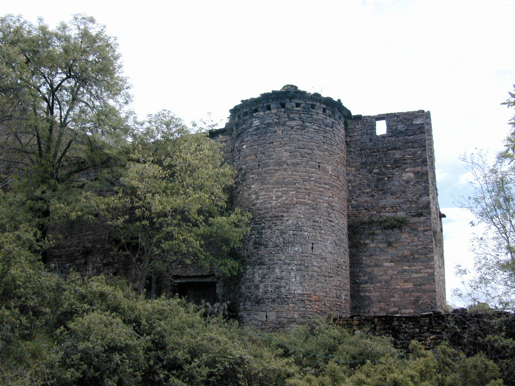
Situated on a natural ridge of rock outcrop in an upland area with extensive views. Described in the Civil Survey (1654-6) as a 'ruinous castle with the priviledge of a court leete and courte' (Simington 1934, vol. 2, 141-2). Donogh O Bryen is listed as proprietor in 1640 (ibid.). The OS Letters describe a water-filled moat with the wall-footings of castle on top of rock outcrop (O'Flanagan 1930, vol. 3, 14). The present remains consist of the collapsed masonry of a castle which was enclosed at its base on the W side by a rock-cut moat (TN020-024002-) with causewayed entrance (Wth 4m) at WSW. Possible early medieval castle.
The above description is derived from 'The Archaeological Inventory of County Tipperary. Vol. 1 - North Tipperary' compiled by Jean Farrelly and Caimin O'Brien (Dublin: Stationery Office, 2002). In certain instances the entries have been revised and updated in the light of recent research.
Date of upload/revision: 16 January 2012
The monument record does not grant public access. Check the route and ask the landowner before entering private land.