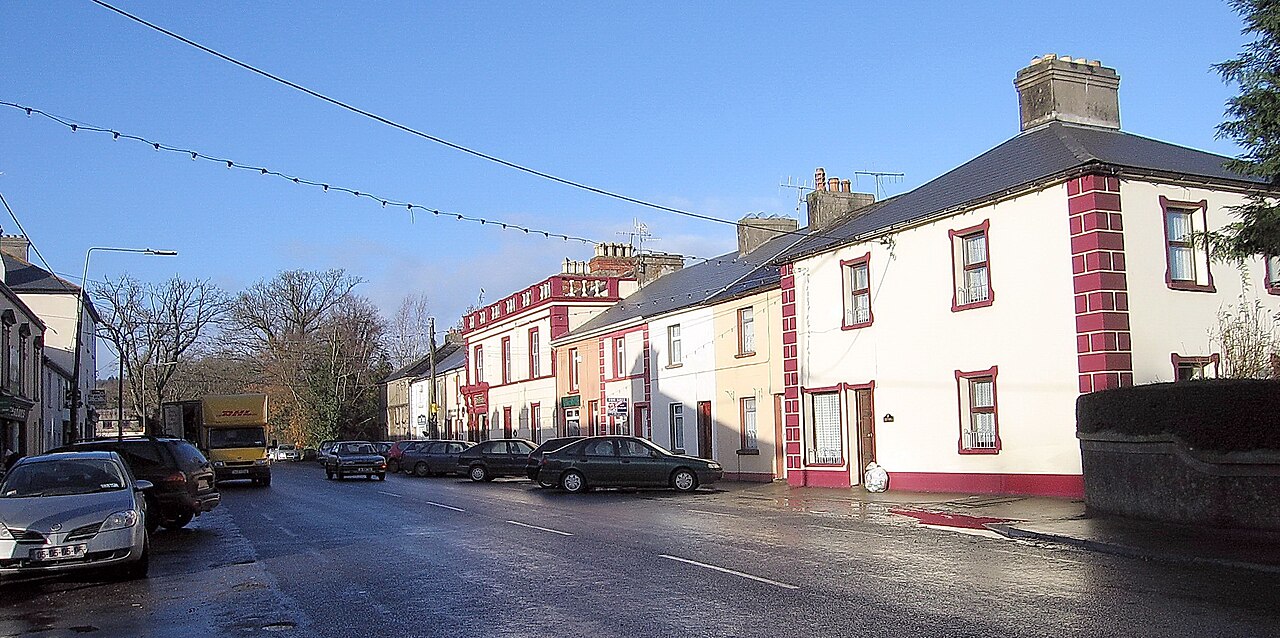
Add your own picture and explain the route, parking, gates, paths or landmarks that help people find it.
Earn 5 points after the picture is checked and accepted.
Add your photo and local directionsShare what you foundWhat is recorded here
Situated in gently undulating terrain sloping to the E, under pasture. A roughly triangular-shaped field (dims. 116m N-S; 120m E-W) enclosed by a bank (Wth 1.6m; 0.5-0.85m int. H) of earth and stone with rounded corners marked 'Glebe' on the 1st ed. (1840) OS 6-inch map. A river runs roughly E-W c. 100m N-NW of this 'glebe'. The field is probably associated with Glebe House c. 300m to the NW.
The above description is derived from 'The Archaeological Inventory of County Tipperary. Vol. 1 - North Tipperary' compiled by Jean Farrelly and Caimin O'Brien (Dublin: Stationery Office, 2002). In certain instances the entries have been revised and updated in the light of recent research.
Date of upload/revision: 22 September 2008
The monument record does not grant public access. Check the route and ask the landowner before entering private land.