Add your own picture and explain the route, parking, gates, paths or landmarks that help people find it.
Earn 5 points after the picture is checked and accepted.
Add your photo and local directionsShare what you foundWhat is recorded here
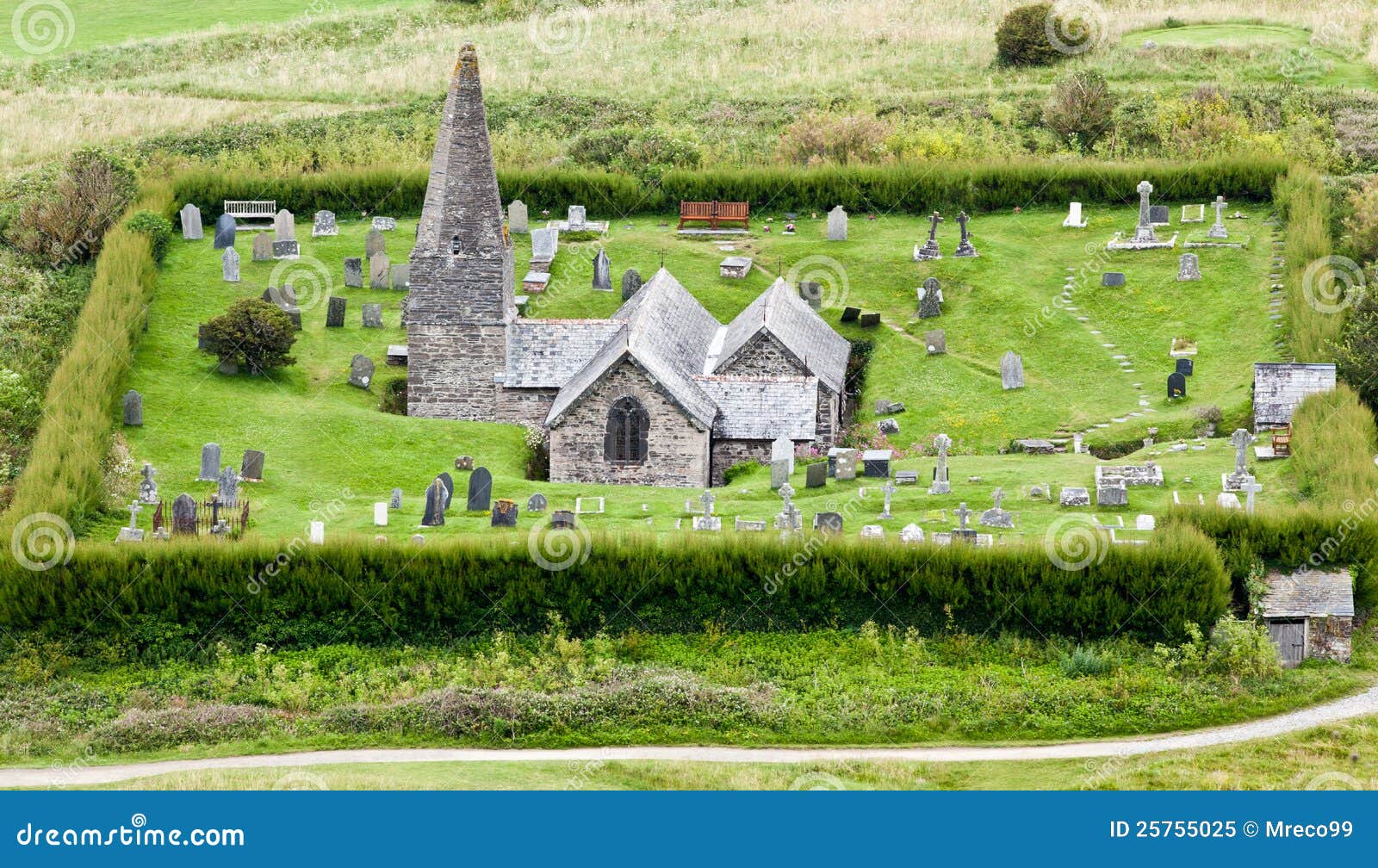
Situated on a low rise of ground with extensive views; site of possible castle (TN007-056001) nearby. Uskane House is located immediately to the NW of the church. Listed in the ecclesiastical taxation of the Diocese of Killaloe in 1302 (CDI, vol. 5, 302). The Royal Visitation of 1615 described the building as a 'church and chancell decayed, all save the vicars part' (Murphy 1914, 221). The poorly preserved remains of an ivy-covered church (ext. dims. 9.2m N-S; 21m E-W; wall T 0.85m) built with roughly coursed limestone rubble which is located at the W end of a small elongated graveyard (TN007-056003). The remains of a twin-light ogee-headed window are visible in the E gable with single-light ogee-headed windows located opposite each other at the E end of the N and S walls. A destroyed doorway with its surviving rere-arch consisting of a segmental arch of roughly cut voussoirs with keystone still survives at the W end of the S wall. There are two small aumbries located close to each other in the SE angle of the E gable and the E end of the S wall. The graveyard contains eighteenth to twentieth-century headstones and is enclosed by a stone wall which is attached to the church at the SW and NE angles. A modern lean-to shed has been built against the external face of the N wall.
The above description is derived from 'The Archaeological Inventory of County Tipperary. Vol. 1 - North Tipperary' compiled by Jean Farrelly and Caimin O'Brien (Dublin: Stationery Office, 2002). In certain instances the entries have been revised and updated in the light of recent research.
Date of upload/revision: 22 September 2008
The monument record does not grant public access. Check the route and ask the landowner before entering private land.