Add your own picture and explain the route, parking, gates, paths or landmarks that help people find it.
Earn 5 points after the picture is checked and accepted.
Add your photo and local directionsShare what you foundWhat is recorded here
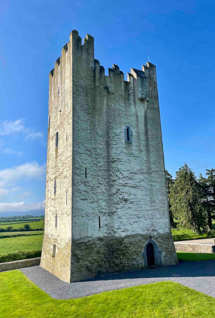
Situated on the SW face of a raised platform which may be the location of the bawn (TN007-002002-) area and which is defined by a drain. Described in the OS Letters as an 'old castle which is now nearly destroyed. One small apartment with a stone arch over it remains; and a bit of a wall remains, isolated, on one side of which some vestiges of a stone arch are seen attached at top' (O'Flanagan 1930, vol. 3, 28). In the Civil Survey 1654-6 the castle is described as a 'ruined old castle, Irrepayreably demolished' (Simington 1934, vol. 2, 347). The present remains consist of a poorly preserved roughly D-shaped tower (ext. diam. 5.3m; wall T 1m) surviving one storey high with an impressive groin-vaulted roof over the ground floor. A destroyed window is located at NE with a possible blocked-up doorway at the S. There are portions of a bawn wall attached to the NE and SW faces of the tower suggestive of a flanking tower on a bawn or curtain wall. A modern laneway intersects the site immediately to the S of the tower with a poorly preserved building located immediately to the S of the laneway. Recent work on the building indicates that it was constructed in the nineteenth century utilising some medieval stone possibly from the destroyed castle. A second nearby nineteenth-century house has a roughly dressed chamfered and rebated door jamb protruding fom the gable of the house.
The above description is derived from 'The Archaeological Inventory of County Tipperary. Vol. 1 - North Tipperary' compiled by Jean Farrelly and Caimin O'Brien (Dublin: Stationery Office, 2002). In certain instances the entries have been revised and updated in the light of recent research.
Date of upload/revision: 22 September 2008
The monument record does not grant public access. Check the route and ask the landowner before entering private land.