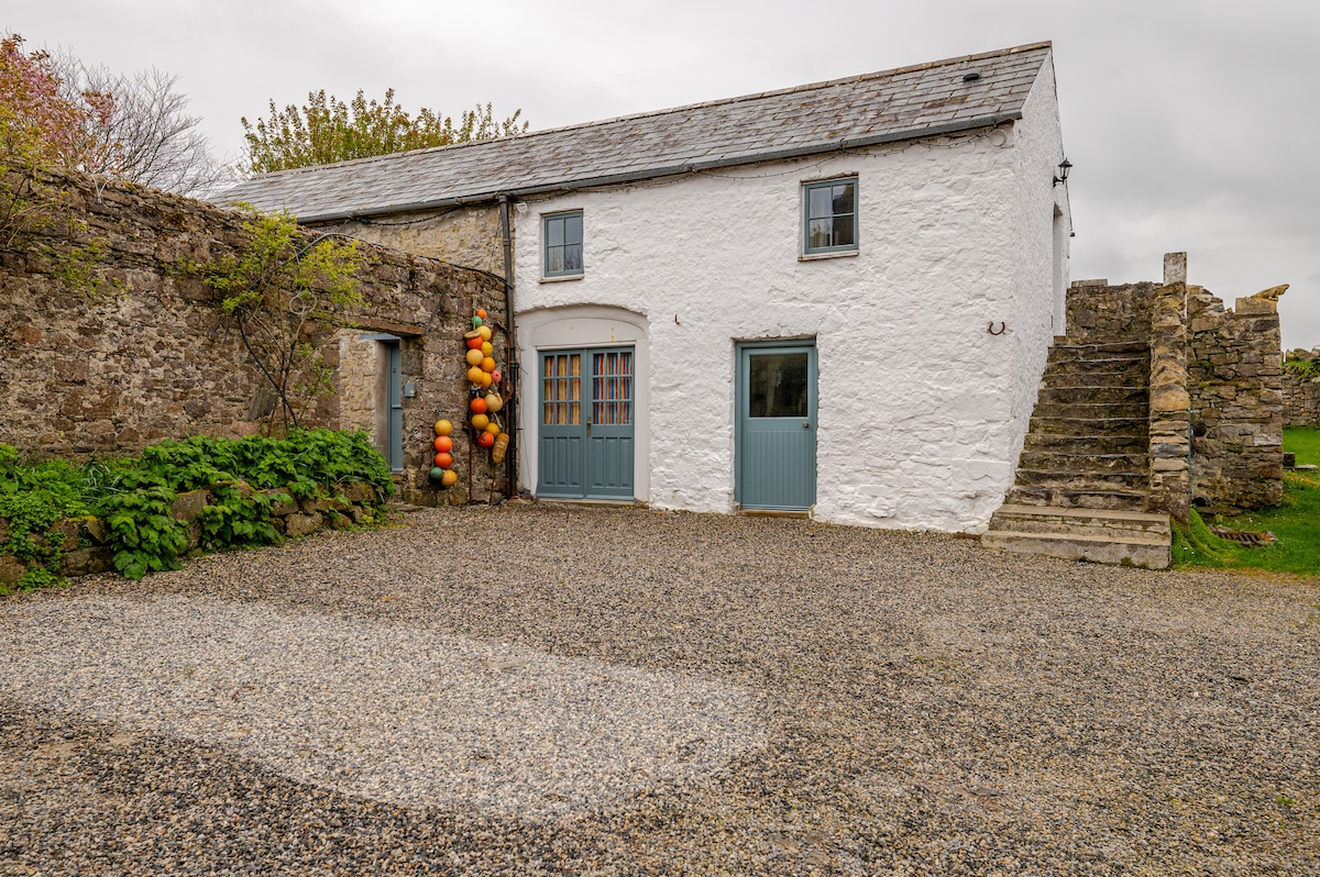
Add your own picture and explain the route, parking, gates, paths or landmarks that help people find it.
Earn 5 points after the picture is checked and accepted.
Add your photo and local directionsShare what you foundWhat is recorded here
On the E shore of Lough Arrow, at the mouth of Loughbrick Bay. Inspection was difficult due to dense overgrowth. An oval area (c. 25m NE-SW; c. 30m NW-SE) defined S-NE by a stony bank, NE-E by a low stony rise (Wth 1.1m; int. H 0.3m; ext. H 0.4m); elsewhere the enclosing element is obscured by overgrowth. The bank is most substantial (Wth 3.5m; int. H 0.55m; ext. H 1.1m) at S and WNW-NNE. From SW-W, adjacent to the lake, the bank is reduced to a low stony scarp (H 0.6m) topped by a slight internal stony rim. A broad fosse-like depression (Wth 8m; D 0.9m) outside the bank N-E, continuing E-ESE as an inward-facing scarp (H c. 0.9m), appears to be the result of relatively recent quarrying into the gently rising ground immediately to E and SE. A shallow depression (Wth c. 2m) is visible outside the bank at S. The level interior is bisected by a NE-SW field boundary wall NW of centre. The NW quadrant is firm and dry underfoot but much of the rest of the interior, especially the NE quadrant, is very damp and marked by a dense growth of irises and reeds.
The above description is derived from the published 'Archaeological Inventory of County Sligo' compiled by Ursula Egan, Elizabeth Byrne, Mary Sleeman with Sheila Ronan and Connie Murphy (Dublin Stationery Office, 2005).
Date of upload: 18 January 2008
The monument record does not grant public access. Check the route and ask the landowner before entering private land.