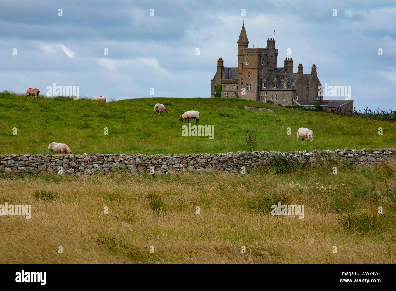
Add your own picture and explain the route, parking, gates, paths or landmarks that help people find it.
Earn 5 points after the picture is checked and accepted.
Add your photo and local directionsShare what you foundWhat is recorded here
At the S end of a narrow moderately steep-sided pasture ridge. Depicted on the 1st ed. (1837) of the OS 6-inch map as a circular enclosure (est. max. diam c. 40m). An almost square area (int. 22m N-S; 21.3m E-W) is defined by a fairly steep scarp (H 1.2m at S-1.9m at N) and a wet outer fosse (Wth 1.6m at N-3.4m at WNW) WNW-N-SE, which has been dug away along with portion of the interior SE-S-WNW. A later hedged field bank runs along the outer lip of the fosse WNW-N-SE.
Compiled by: Gearóid Conroy
Date of upload: 05 July 2013
The monument record does not grant public access. Check the route and ask the landowner before entering private land.