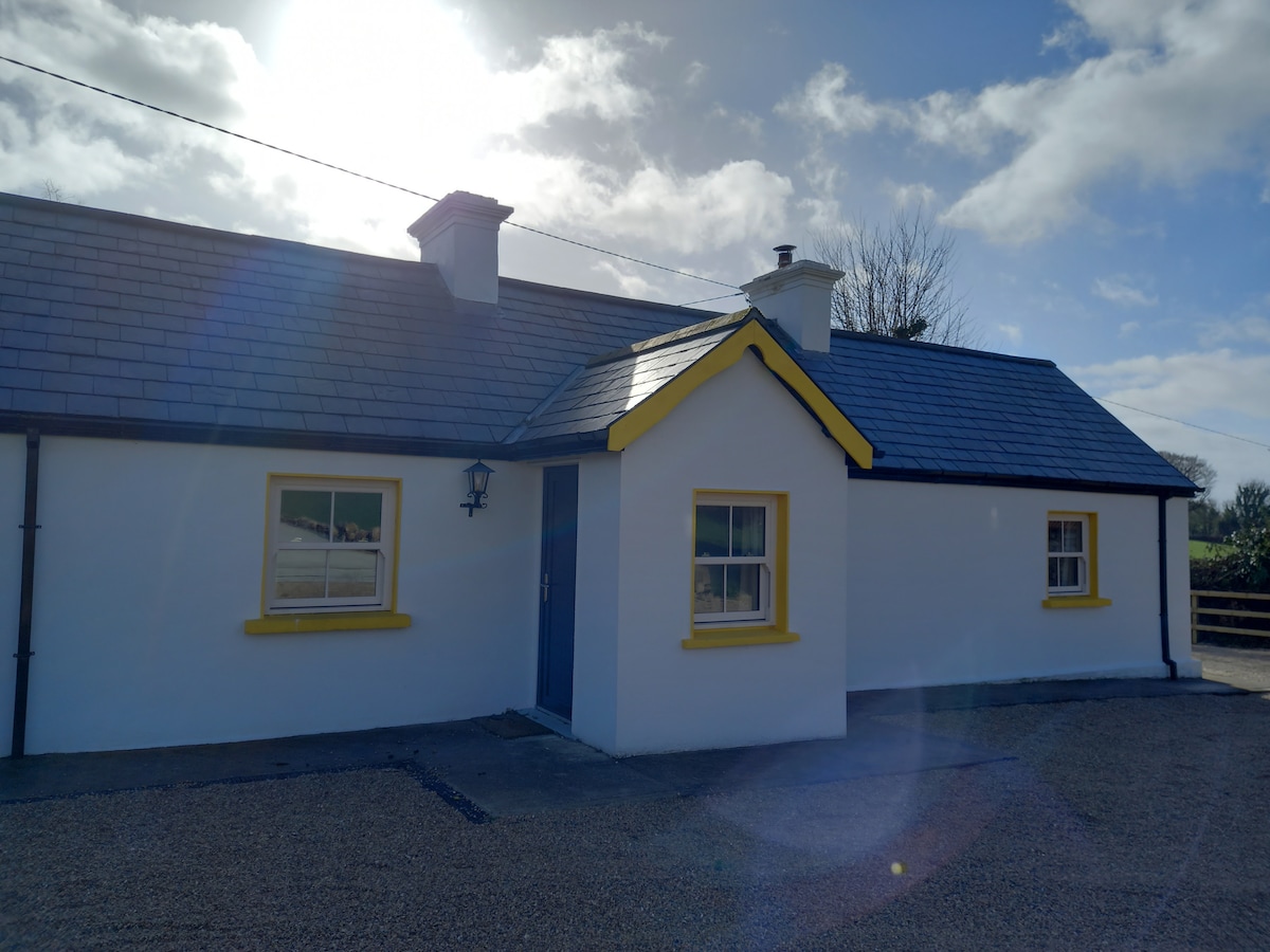
Add your own picture and explain the route, parking, gates, paths or landmarks that help people find it.
Earn 5 points after the picture is checked and accepted.
Add your photo and local directionsShare what you foundWhat is recorded here
In pasture, on the flat summit of a hill with excellent views of the surrounding countryside. An earthen platform (73m N-S; 90m E-W) defined by a scarp (max. H 0.65-0.8m), eroded in places and with a low internal lip (Wth 1.6-1.8m; H 0.2m), is evident outside the E, S and W sides of the graveyard (SL033-144002-) at Emlaghfad. The expanded and slightly rounded corners of this platform project 15-18m beyond the corners of the graveyard. Midway along each of its three sides, the platform is indented to within 8-9m of the graveyard wall. A N-S road, immediately outside the W wall of the graveyard, cuts through the W side of the platform, bordering the NW projecting corner as well as truncating the SW projecting corner. The SE corner remains intact while the NE corner is incorporated into a field boundary. A disused 19th-century house overlies the W end of the S side of the earthwork. There are no visible remains of the earthwork on the N side of the graveyard. Many mature trees and bushes grow on the platform. While the function of this earthwork remains uncertain, its star-shaped ground plan is suggestive of a bastioned fort.
The above description is derived from the published 'Archaeological Inventory of County Sligo' compiled by Ursula Egan, Elizabeth Byrne, Mary Sleeman with Sheila Ronan and Connie Murphy (Dublin Stationery Office, 2005).
Date of upload: 18 January 2008
This remains an important historical record, but the official description says the monument is no longer visible or has been destroyed.
The monument record does not grant public access. Check the route and ask the landowner before entering private land.