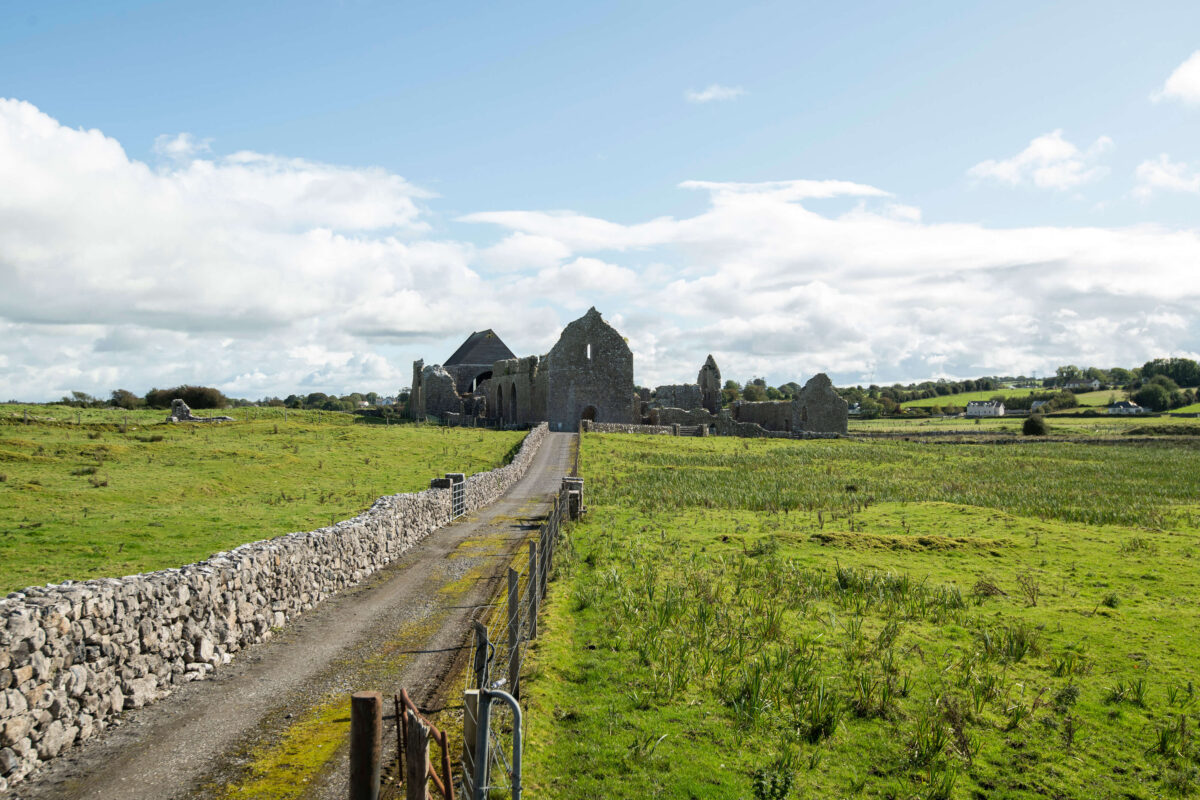
Add your own picture and explain the route, parking, gates, paths or landmarks that help people find it.
Earn 5 points after the picture is checked and accepted.
Add your photo and local directionsShare what you foundWhat is recorded here
In pasture, on flat ground and on the E side of a road, named 'Stirabout Road' on the 1838 OS 6-inch map. Within the N half of Kilcummin graveyard (SL031-005002-) and also within a possible ecclesiastical enclosure (SL031-005003-). No trace is evident of the building indicated on the 1838 OS 6-inch map as a rectangular structure (c. 20m E-W; c. 10m N-S) and named 'Abbey'. It was recorded in 1836 as 'an old abbey in ruins in Cill Cuimín' (OSL, 389). According to local information, 'considerable fragments' of the church remained up to the 1880s but these were all reused as grave-markers (SL031-005004-) (O'Rorke [1889], vol. 2, 130-31). The base of a window and two jambstones are still evident in the graveyard (pers. comm. M. A. Timoney). Part of the enclosing vallum may be extant (SL031-005003-). According to Gwynn and Hadcock (1970, 390), Kilcummin was founded 'perhaps by St. Caeman or by St. Coemgen'. The site of a friary (SL031-006001-) and a bullaun stone (SL031-006002-) are c. 60m and c. 130m to the NE respectively. An associated holy well, 'Tobar Cuimín' (SL031-005005-), remains unlocated.
The above description is derived from the published 'Archaeological Inventory of County Sligo' compiled by Ursula Egan, Elizabeth Byrne, Mary Sleeman with Sheila Ronan and Connie Murphy (Dublin Stationery Office, 2005).
Date of upload: 18 January 2008
The monument record does not grant public access. Check the route and ask the landowner before entering private land.