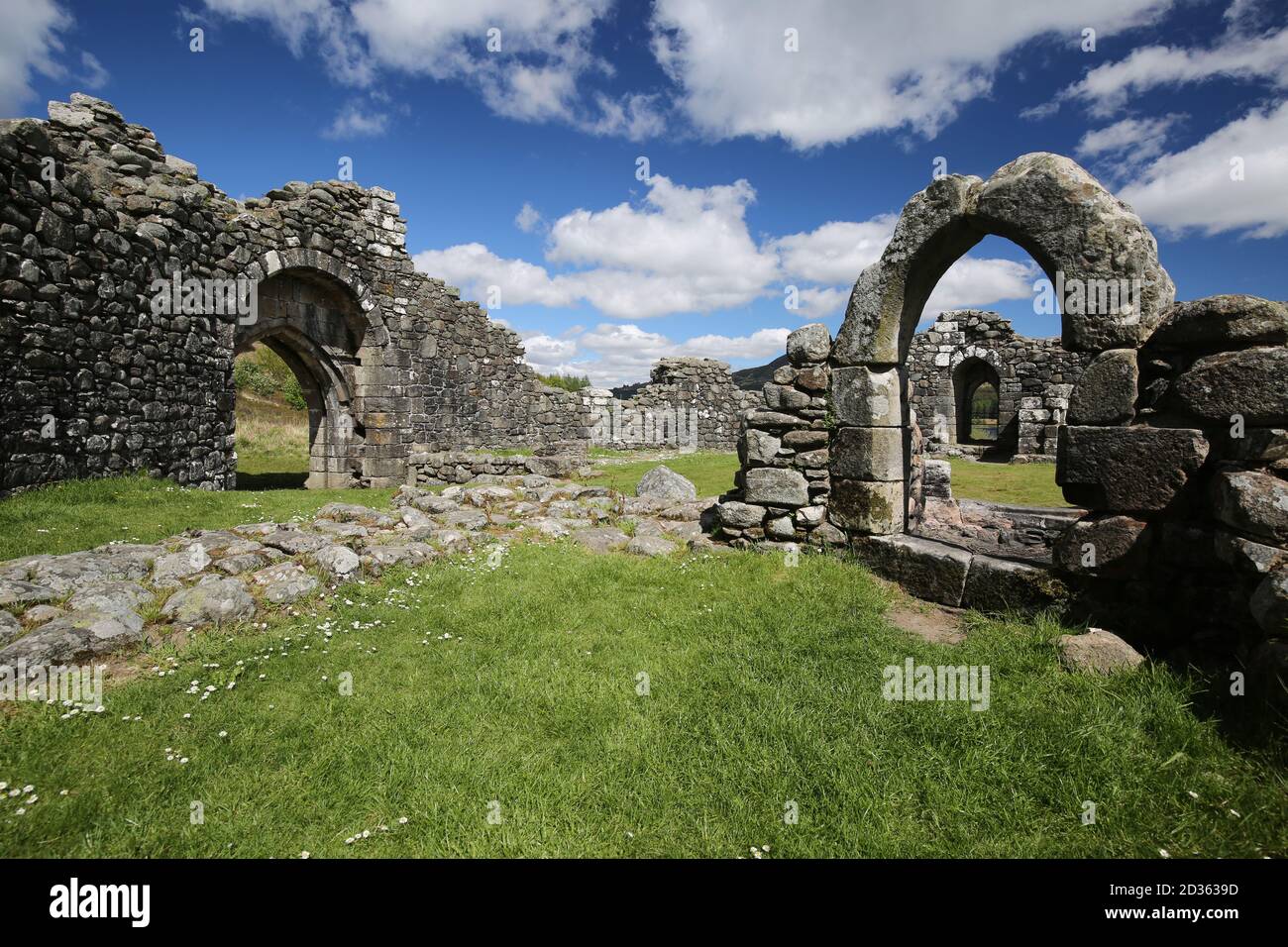
Add your own picture and explain the route, parking, gates, paths or landmarks that help people find it.
Earn 5 points after the picture is checked and accepted.
Add your photo and local directionsShare what you foundWhat is recorded here
In hilly terrain overshadowed to N by Killery Mountain, commanding excellent views along a valley to SW. A subrectangular area (35m N-S; 39m E-W), utilising the natural defences of a high steep-sided rocky spur on its S, W and N sides; the gradually sloping E side allows access to the top of the spur. The E side is defined by a scarp (H 1.4m) that drops down to a broad terrace. The remains of a stone wall are evident in parts, most clearly S-SSW as an arc of moss-covered horizontally laid slabs at the cliff-edge, in one instance surviving to two courses. Along the W and NW arcs, single stones which occur at intervals and are set back 0.5-1m from the edge of the spur may also be part of the enclosing wall. The base of the spur E-S is faced with drystone walling of relatively recent date.
The above description is derived from the published 'Archaeological Inventory of County Sligo' compiled by Ursula Egan, Elizabeth Byrne, Mary Sleeman with Sheila Ronan and Connie Murphy (Dublin Stationery Office, 2005).
Date of upload: 18 January 2008
The monument record does not grant public access. Check the route and ask the landowner before entering private land.