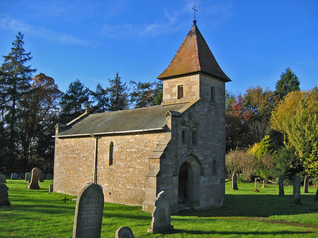
Add your own picture and explain the route, parking, gates, paths or landmarks that help people find it.
Earn 5 points after the picture is checked and accepted.
Add your photo and local directionsShare what you foundWhat is recorded here
Incorporated into the garden of a house, with rising ground immediately to W and a road immediately to S. A T-plan church, annotated ‘R. C. Chapel (in Ruins’), is shown on the 1837 and the 1913 OS 6-inch maps. The transepts, which make up the bar of the 'T', are aligned E–W and the nave or shaft of the 'T' extends to the S. The church is constructed of mortared random rubble. The total N–S length appears to have been c. 17m, and total E–W length c. 16-17m. The roofless ruins comprise the W transept and the nave. The gable (L 6.2m N–S) of the W transept is intact and has a central pointed-arch window. The side walls (Wth 0.6m) of this transept survive to a height of 1.4m and a length of 5-6m E–W. A shed overlies, and possibly incorporates, the N wall of the E transept. There is no trace of the remainder of the E transept. The end or S wall (Wth 7m E–W) of the nave has a central blocked up doorway. The W side wall (L 10.5m N–S) of the nave is intact. The E side wall extends N from the end wall for 4m, decreasing in height towards its N end which has a cut-stone stoup (bowl diam. 0.3m) cemented onto it. The church probably dates to late 18th- or early 19th-century.
Compiled by: Jane O'Shaughnessy
Date of upload: 14 April 2014
This remains an important historical record, but the official description says the monument is no longer visible or has been destroyed.
The monument record does not grant public access. Check the route and ask the landowner before entering private land.