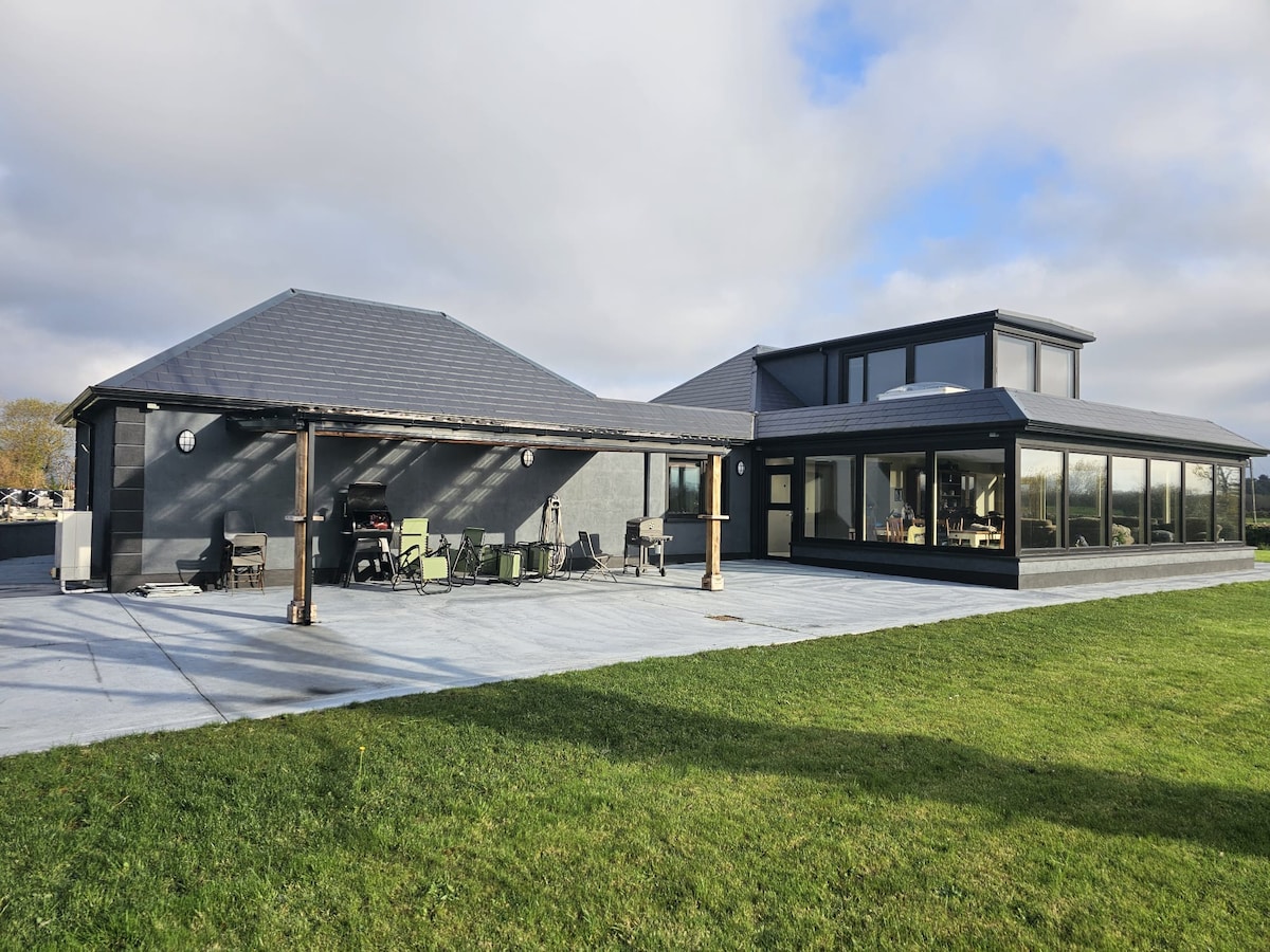
Add your own picture and explain the route, parking, gates, paths or landmarks that help people find it.
Earn 5 points after the picture is checked and accepted.
Add your photo and local directionsShare what you foundWhat is recorded here
Situated on a N-facing terrace on the lower slopes of the Ox Mountains. Oval area (dims. 24m E-W; 16m N-S). This is divided into unequal portions by a N-S field wall, flanked on its E side by a deep drain. At the smaller portion of the site, W of this, the perimeter is defined by the remains of a collapsed stone wall (Wth. 1.4m - 3m; int. H 0.25m - 0.45m). At the larger portion only ephemeral traces of the wall are identifiable. Original entrance not recognisable. A short distance E of the field wall which divides the site is a abrupt drop in ground level (D 1.2m), the result of an artificial scarp or quarry which extends N-S for several metres. The smaller portion of the site, W of the dividing field wall, lies within a plantation of coniferous trees.
Compiled by: Patrick F. O'Donovan
Date of upload: 19 January 2011
The monument record does not grant public access. Check the route and ask the landowner before entering private land.