Add your own picture and explain the route, parking, gates, paths or landmarks that help people find it.
Earn 5 points after the picture is checked and accepted.
Add your photo and local directionsShare what you foundWhat is recorded here
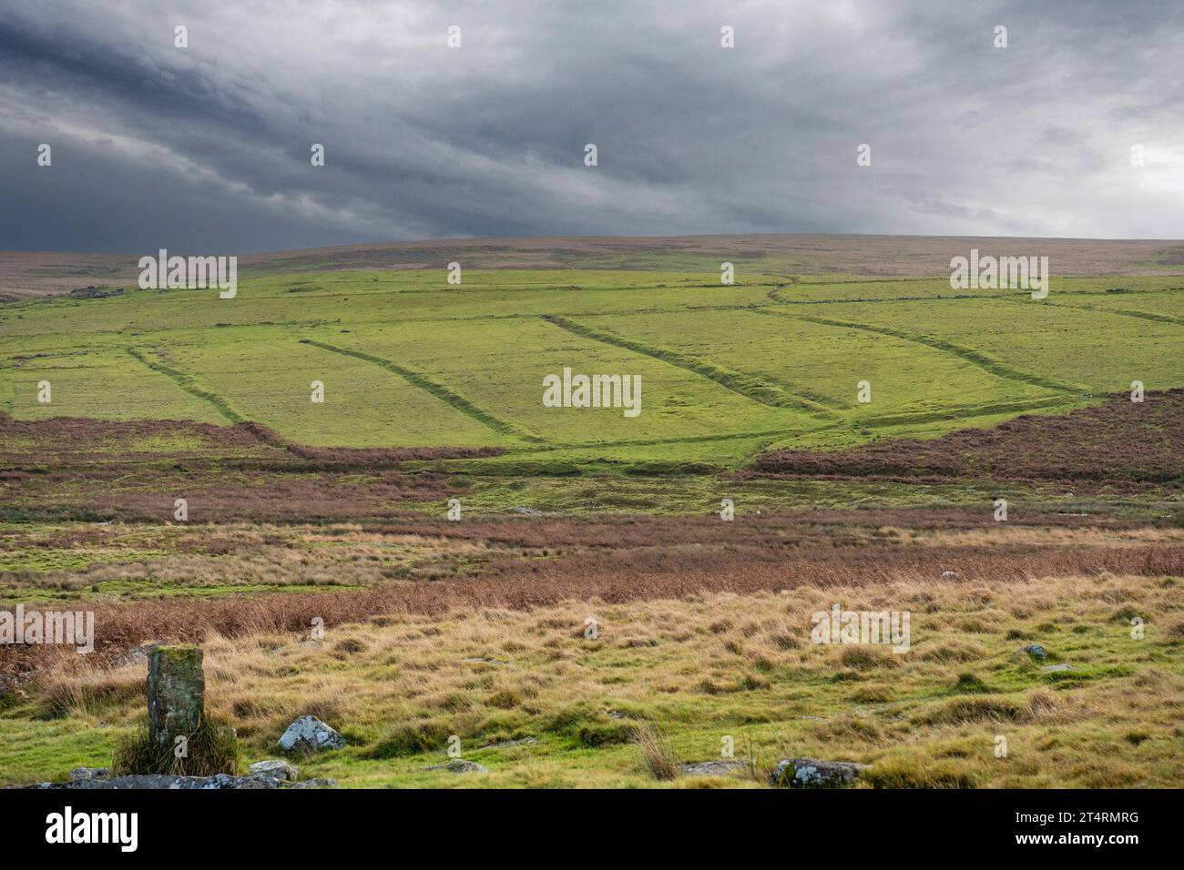
Situated in reclamed pasture on and in the immediate vicinity of a N-S ridge. Not marked on any edition of the OS 6-inch map. A series of field boundaries, whose long axis was aligned NNW-SSE and in general followed the undulating contours of the ridge, was identified from aerial photography (ACP V203/148-9, Roll 125, Prs. 19-22). In addition various subdivisions were located in the vicinity of a cashel (SL019-129002-) and a rectangular enclosure (SL019-129003-). These field boundaries were levelled in the 1960's and only ephemeral remains are now visible.
Compiled by: Patrick F. O'Donovan
Date of upload: 19 January 2011
The monument record does not grant public access. Check the route and ask the landowner before entering private land.