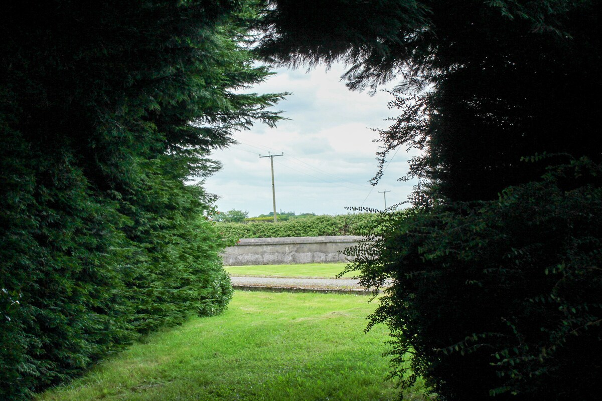
Add your own picture and explain the route, parking, gates, paths or landmarks that help people find it.
Earn 5 points after the picture is checked and accepted.
Add your photo and local directionsShare what you foundWhat is recorded here
In pasture, located on a narrow E–W ridge which provides excellent views NE–NW over lowlying coastal grasslands, and to S of lands rising to the Ox Mountains. Raised circular area (diam. 28m) defined at SW–NW by an earthen bank (Wth 4.6m; int. H 0.3m; ext. H 1.6m at NW), reduced elsewhere to a scarp (ext. H 1.7m at SE). Outside the bank at NW-NE there is a fosse (Wth 3m), evident as a shallow depression, on the outer edge of which is a low rise (Wth 3m), possibly the remains of an external bank. In the interior there is a slight slope down from the centre towards an entrance gap (Wth 4m) at E. A low rise in ground level immediately outside the entrance may be the remains of a causeway. Traces of cultivation ridges traverse the interior on a N–S axis. A pit (6m E–W; 7.2m N–S; D 1m) has been dug into the interior at S.
Compiled by: Jane O'Shaughnessy
Date of upload: 14 August 2015
The monument record does not grant public access. Check the route and ask the landowner before entering private land.