Add your own picture and explain the route, parking, gates, paths or landmarks that help people find it.
Earn 5 points after the picture is checked and accepted.
Add your photo and local directionsShare what you foundWhat is recorded here
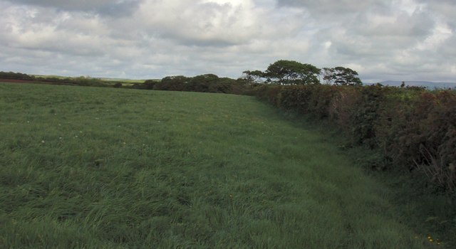
In pasture, straddling the NW edge of a low hillock, which forms a virtual island of elevated ground surrounded at W–S by lowlying wet, boggy ground. This relict field wall is visible as a low, sod-covered linear rise (Wth 0.6-1.2m; H 0.2-0.3m) from which stones protrude intermittently. It can be traced on an ENE–WSW axis for a distance of c. 80m, extending from the top of the hill downslope to WSW where it follows the contour of the base of the hill at its interface with the adjacent boggy ground. At its ENE end, the field boundary is incorporated into the S side of a roughly square structure (SL017-097001-) of earth and stone. Where it merges with the structure, it is faced with a row of contiguous upright stones. Towards the W end of its extent, the field wall can be traced only as a slight heather-covered rise, finally petering out in boggy ground.
Attached images:
SL017-097002_01.JPG viewed from W, with structure (SL017-097001-) visible at ENE end.
SL017-097002_02.JPG viewed from E
Compiled by: Jane O'Shaughnessy
Date of upload: 10 March 2015
The monument record does not grant public access. Check the route and ask the landowner before entering private land.