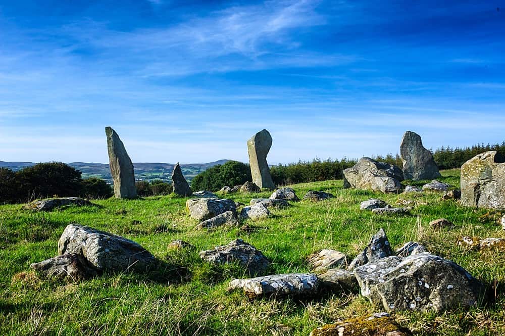
Add your own picture and explain the route, parking, gates, paths or landmarks that help people find it.
Earn 5 points after the picture is checked and accepted.
Add your photo and local directionsShare what you foundWhat is recorded here
On S slope in a field in pasture. A field report dating to 1994 recorded 'an oval raised area (int. dims. 30m N-S; 40m E-W), which has been nearly reduced to surrounding ground level in places. No indication of a wall, but large stones have been incorporated into nearby field walls.' (SMR (1989) file). However the site has become very overgrown in the intervening period and there are no remains now visible at ground level. (Wood-Martin 1887-8, 121; Milligan (1890-1, 577-8)).
Compiled by: Patrick F. O'Donovan
Date of upload: 21 April 2011
The monument record does not grant public access. Check the route and ask the landowner before entering private land.