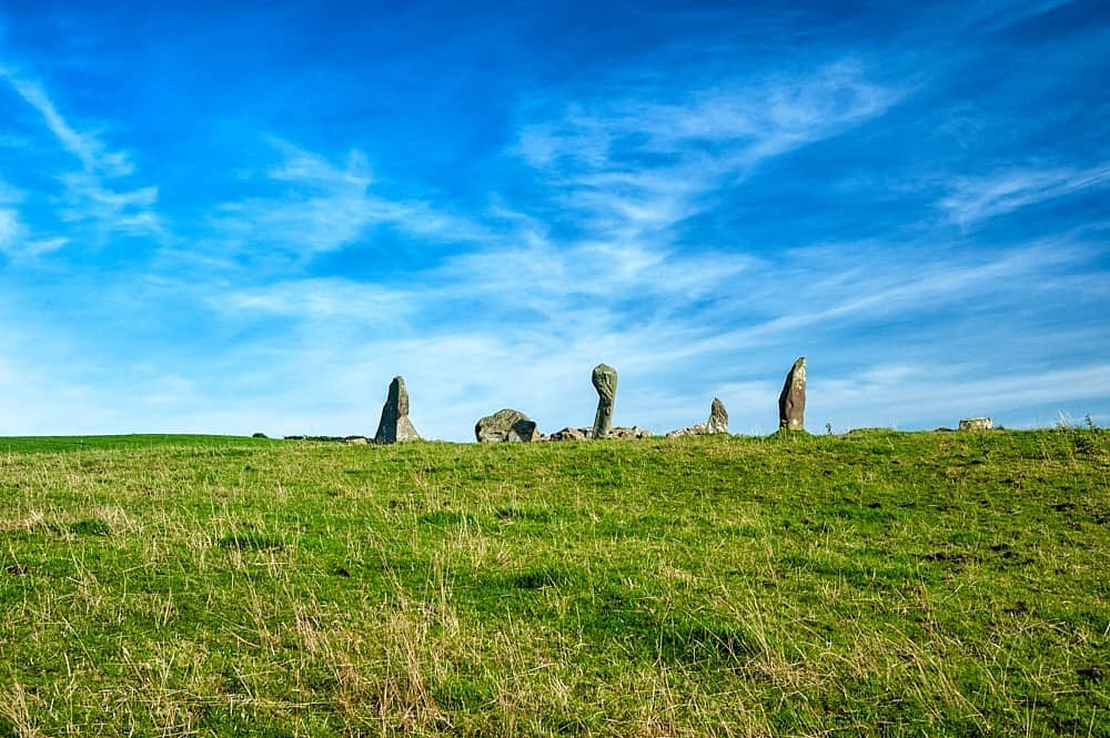
Add your own picture and explain the route, parking, gates, paths or landmarks that help people find it.
Earn 5 points after the picture is checked and accepted.
Add your photo and local directionsShare what you foundWhat is recorded here
On the summit of Knocknarae Mountain, located 50m to N of a large passage tomb, known as Maeve’s Cairn (MA014-076003-), and 30m to S of another passage tomb (MA014-076001-).
This possible hut site or small enclosure is indicated on the OS 6-inch map as a circle of boulders, annotated ‘Stone Circle’. It consists of a circular area (diam. 9m) defined by a stone bank (Wth 3-4; H 0.3-0.6m), now largely concealed by heather. The overall external diameter is 17m. There is a gap in the bank at NW. Immediately to N of the stone bank, a flat square area (8m N−S; 8m E−W) is defined on the W and N sides by a ditch (Wth c. 2m; D 0.5m); it is open on the E side. (Bergh 1995, 237-38, site 2). This is a National Monument (No. 153) in state ownership.
Attached images:
SL014-076002-_01.JPG Viewed from NW
SL014-076002-_02.JPG Viewed from N
Compiled by: Jane O’Shaughnessy
Date of upload: 6 April 2020
The monument record does not grant public access. Check the route and ask the landowner before entering private land.