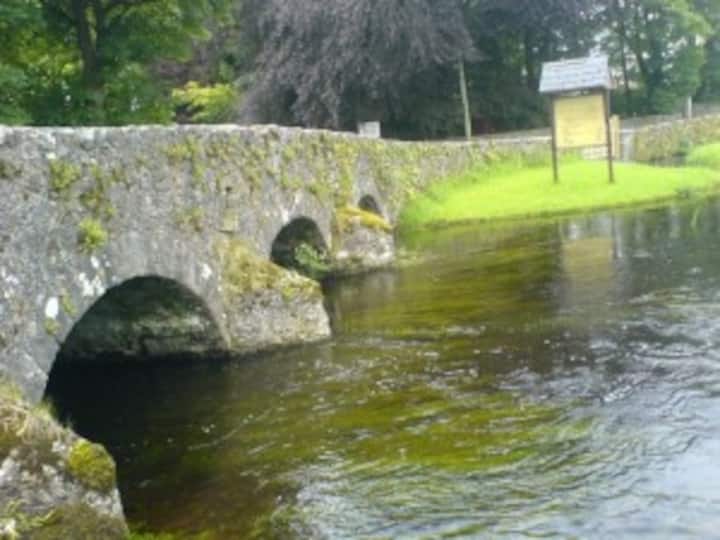
Add your own picture and explain the route, parking, gates, paths or landmarks that help people find it.
Earn 5 points after the picture is checked and accepted.
Add your photo and local directionsShare what you foundWhat is recorded here
Situated on an ENE-facing slope overlooking the Easky River, which lies c. 50m to E. Raised approximately oval area (49.8m NNW-SSE; 36.4m ENE-WSW) enclosed by a largely collapsed wall (Wth. 2.1m; H 0.2m - 1.1m) composed largely of drystone masonry interspersed with small quantities of earth. From NE-ENE a short length of mortared stone wall, the last upstanding vestige of a field boundary, has been constructed against the outer face of the cashel wall. Original entrance not recognisable. Centrally located within the interior is an approximately rectangular, raised stone platform (14.4m NNW-SSE; c. 11.5m ENE-WSW; H 0.1- 0.6m) which may mark the remains of a house (SL011-089001-).
Compiled by: Patrick F. O'Donovan
Date of upload: 19 January 2011
The monument record does not grant public access. Check the route and ask the landowner before entering private land.