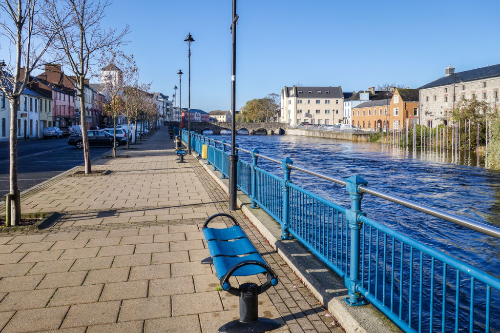
Add your own picture and explain the route, parking, gates, paths or landmarks that help people find it.
Earn 5 points after the picture is checked and accepted.
Add your photo and local directionsShare what you foundWhat is recorded here
Located on a slight elevation of dry ground in generally lowlying, damp pasture, c. 140m SW of the Leaffony River. Raised circular area (diam. 24m NW–SE) defined by an earthen bank (Wth 2.6m at N, 3.3m at SE; int. H 0.6m at N, 1.1m at SE; ext. H 1.5m at N, 1.4m at SE). The external face of the bank is steep, almost vertical, and incorporates large stones in parts, suggesting that the bank has been modified in the relatively recent past. At N there is a narrow eroded break (c. 0.5m), adjacent to a section of bank which is low and incorporates large stones. This may mark a blocked up entrance feature.
Compiled by: Jane O’Shaughnessy
Date of upload: 16 April 2013
The monument record does not grant public access. Check the route and ask the landowner before entering private land.