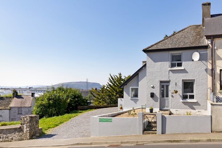
Add your own picture and explain the route, parking, gates, paths or landmarks that help people find it.
Earn 5 points after the picture is checked and accepted.
Add your photo and local directionsShare what you foundWhat is recorded here
In level, lowlying coastal pasture, located c. 90m E of a rocky shoreline. An expanse of damp pasture, cut by modern drains, lies to N-NE. Slightly raised, roughly oval area (c. 23m N-S; c. 20m E–W) defined by a stony scarp. The west half is best preserved and is well defined on the perimeter at WSW–N by a scarp (ext. H 1m) with an irregular internal stony rim or bank. The NE quadrant has been quarried into and appears now as an area of uneven ground c. 1m lower in height than the W half of the enclosure. The SE quadrant is less severely damaged and is defined on the perimeter at ESE–S by a stony scarp with a low internal lip (Wth c. 2m; ext. H 0.6m). There is a broad break (Wth 8m) at S–SW. An E-facing scarp (max. H 1m) extends through the centre of the interior, on a roughly N-S line, marking the edge of the disturbed or quarried out area. The enclosure is not marked on any OS 6-inch map. It is known locally as a ‘fort’.
Compiled by: Jane O'Shaughnessy
Date of upload: 31 December 2013
The monument record does not grant public access. Check the route and ask the landowner before entering private land.