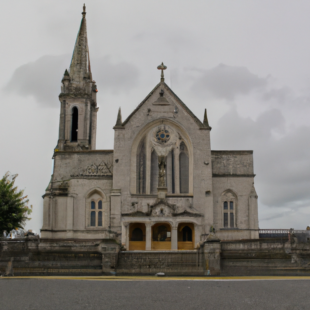
Add your own picture and explain the route, parking, gates, paths or landmarks that help people find it.
Earn 5 points after the picture is checked and accepted.
Add your photo and local directionsShare what you foundWhat is recorded here
Situated on a gentle S-facing slope. This is the parish church of Moore in the Tuam diocese, possibly on the site of an earlier church. The church is a rectangular structure (int. dims at least 14m E-W; 5.3m N-S) defined by cairn material, but only the N masonry wall survives (T 0.8m; H 3.6m) with a single robbed window embrasure. The church is situated towards the S edge of a large circular grass-covered ecclesiastical enclosure (RO054-024003-) (diam. 103m E-W; 96.5m N-S) defined by an earthen bank (Wth 4-6m; int. H 0.4m; ext. H 0.6-1.4m), which is best preserved NNW-NE (Wth 6.8m; int. H 0.5m; ext. H 1.8m) but missing E-S and morphed into a field bank elsewhere. An outer fosse survives NNW-NNE (Wth of top 8.8m; Wth of base 2.3m; D 0.5m) and SSW-WNW (Wth of top 3.5m; Wth of base 1.1m; D 0.3m). The interior has a number of radial banks (Wth 4m; H 0.4-0.6m), but a D-shaped graveyard (RO054-024002-) (dims c. 100m E-W; c. 40m N-S) is confined to the area N of a WNW-ESE road which traverses the enclosure N of the centre. The perimeter of the enclosure is clipped by a NE-SW field wall at SE. Archaeological testing (08E0307) c. 100m to the NW failed to produce any related material (Gleeson 2011).
Compiled by: Michael Moore
Date of upload: 20th June 2011
The monument record does not grant public access. Check the route and ask the landowner before entering private land.