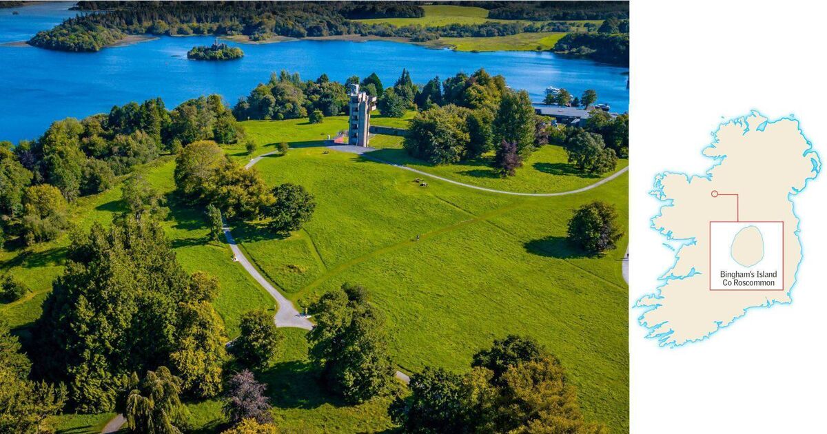
Add your own picture and explain the route, parking, gates, paths or landmarks that help people find it.
Earn 5 points after the picture is checked and accepted.
Add your photo and local directionsShare what you foundWhat is recorded here
On a rise in an undulating landscape. Circular grass-covered area (diam. 34m NE-SW) defined by an earth and stone bank (Wth 5.5-6m; int. H 0.3-0.55m; ext. H 0.85m), which has been removed SW-N. There is no visible fosse but there is an entrance (Wth 2.8m) at NNE.
Compiled by: Michael Moore
Date of upload: 24 August 2010
This remains an important historical record, but the official description says the monument is no longer visible or has been destroyed.
The monument record does not grant public access. Check the route and ask the landowner before entering private land.