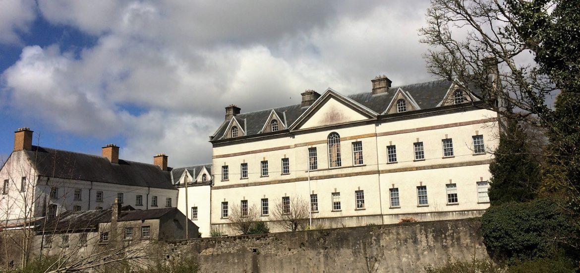
Add your own picture and explain the route, parking, gates, paths or landmarks that help people find it.
Earn 5 points after the picture is checked and accepted.
Add your photo and local directionsShare what you foundWhat is recorded here
In a broad NW-SE flat-bottomed valley. A small castle at the NE edge of Tibberdan, which would include Kellybrook, is marked on the Strafford map of c. 1636, and Christopher Jones of Caldragh owned 307 acres there in 1641 but this had passed to William Handcock by 1662 (Simington 1949, 115, Athlone (262)). This is a grass-covered cairn of rubble (dims 19.6m NNE-SSW; 17m WNW-ESE; max. H 2.6m) with one wall visible (L 3m T 0.75m) and a large piece of masonry is protruding from the mound (H 2.25m). It is within an oval grass-covered enclosure (RO042-102002-) (dims 90m NE-SW; 60m NW-SE) defined by a fosse (Wth of top 3.5-4m; int. D 0.2-0.35m; ext. D 0.1m) SW-N and by a low bank (at SE: Wth 3m; int. H 0.1m; ext. H 0.2m) or scarp (H 0.2m) elsewhere. It has no identifiable original entrance.
Compiled by: Michael Moore
Date of upload: 24 August 2010
The monument record does not grant public access. Check the route and ask the landowner before entering private land.