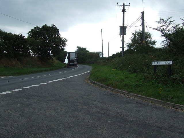
Add your own picture and explain the route, parking, gates, paths or landmarks that help people find it.
Earn 5 points after the picture is checked and accepted.
Add your photo and local directionsShare what you foundWhat is recorded here
On the E bank of the N-S River Suck, at a point where it turns W. There are fragments of old field banks (Wth c. 2m; H 0.2-0.4m) covering c. 8 ha to the N and E of the walled garden (RO041-048014-), including an E-W roadway (Wth 6.5m; L c. 100m) defined by earthen banks and outer ditches. This is probably part of an old road pre-dating the development of the village connecting the roads from Ballygar and Roscommon in a smooth curve.
Compiled by: Michael Moore
Date of upload: 24 August 2010
The monument record does not grant public access. Check the route and ask the landowner before entering private land.