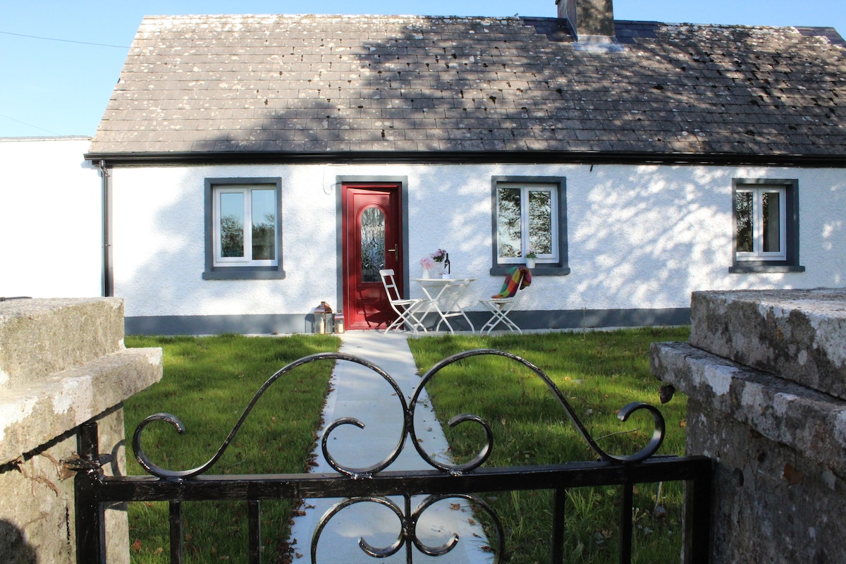
Add your own picture and explain the route, parking, gates, paths or landmarks that help people find it.
Earn 5 points after the picture is checked and accepted.
Add your photo and local directionsShare what you foundWhat is recorded here
Roscommon castle (RO039-043001-) was returned to the Crown in 1569. In 1577 it was leased to Sir Nicholas Malby who proposed alterations in 1582, and he or his son, Henry, may have transformed it into a fortified house, although repairs and alterations were also conducted in 1609. It was burned in 1596 and 1599 by Hugh O'Donnell, and it was garrisoned by Parliamentarians under Sir Charles Coote in the 1640s until it was surrendered to General Preston after a battle in 1645. Capt. Daly surrendered it to Col. Gore for Cromwell without a fight in 1652, after which it may have been abandoned, although constables continued to be appointed into the 1660s. It was burned in 1691 and has been derelict ever since, although conservation works were conducted in the 20th century. The castle is situated on the E edge of a turlough (diam. c. 1km), which was called Lough na n-Eán, and c. 800m N of St Comán's church (RO039-043006-). (Murphy, D. 1891; Murphy and O'Conor 2008, 29, 36)
A large three-storey and attic L-shaped house was erected encompassing all of the N side and the greater part of the E side of the inner ward of the 13th century castle (RO039-043001-). This involved altering the NW and NE corner towers, and demolishing most of the E gateway. Little of this house remains apart from the altered corner towers, the altered E wall of the castle ward, the altered curved portions of the E gatehouse, and the S gable of the E range. The house had large mullion and transom windows with square hood mouldings inserted into all the walls above the ground floor. The entrance would have been on the inner façade, which does not survive apart from evidence of two string courses. (ibid. 29-32)
To the E and N a walled garden (RO039-043011-) (dims c. 100m E-W; c. 100m N-S) was built with masonry walls, the S and E walls (T 0.6m; H 3.5m) of which survive with the foundations of a circular tower (int. diam. c. 3m) at the SE angle. A further N-S wall (RO039-043014-) (Wth 06-0.7m; H 2m) c. 50m E of the NE angle and extending N (L c. 90m) is likely from the same period as determined by excavation (Read 2006f), while pits and furrows revealed in archaeological testing (03E0245) close to it are probably related. The avenues (RO039-044---), which centre on the later fortified house, were part of the design, and a map of 1736 shows mature trees established on that leading from the castle to the town (Murphy and O’Conor 2008, 32).
Compiled by: Michael Moore
Date of upload: 24 August 2010
The monument record does not grant public access. Check the route and ask the landowner before entering private land.