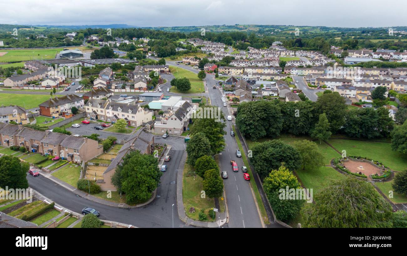
Add your own picture and explain the route, parking, gates, paths or landmarks that help people find it.
Earn 5 points after the picture is checked and accepted.
Add your photo and local directionsShare what you foundWhat is recorded here
On level ground with rock outcrop at the bottom of N and E-facing slopes. An area of about 12 acres (c. 5 ha) contains field banks creating small plots (dims c. 30m x c. 20m), with quarries in unenclosed areas and three hosue-sites. A house site (RO028-241002-) (ext. dims 20.8m NW-SE; 7m NE-SW) defined by earthen banks (Wth c. 1-2m; H 0.2-0.5m) with slight traces of two internal divisions is 8m to the NW of a similar house-site (RO028-241003-) (ext. dims 12m NE-SW; 7m NE-SW). Both are within a narrow field (dims c. 100m NE-SE; c. 15-20m NW-SE) extending to the SE, where a third house site (RO028-241004-) (ext. dims 13m N-S; 7m E-W) at its E end has a possible sweat-house (RO028-241005-) visible as a mound (diam. 5m) with a hollow (diam. 2.6m) in the N wall. There is no evidence of lazy-beds.
See the attached aerial view taken from the NNE.
Compiled by: Michael Moore
Date of upload: 24 August 2010
The monument record does not grant public access. Check the route and ask the landowner before entering private land.