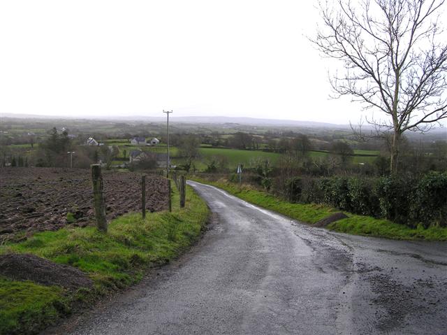
Add your own picture and explain the route, parking, gates, paths or landmarks that help people find it.
Earn 5 points after the picture is checked and accepted.
Add your photo and local directionsShare what you foundWhat is recorded here
Visible on aerial photograph (OSAP: 3/0144), and situated on a N-facing slope. A roadway (Wth 7m) defined by earth and stone banks (Wth 1.7-2m; H 0.25-0.4m) is aligned NW-SE (L c. 370m) and has the rath (RO028-189001-) and cashel (RO028-190001-) on the N side at its SE end. It continued into Grange townland at its NW end (L c. 150m plus) but it does not survive here. Archaeological testing (12E0399) c. 20m SW of the road and c. 30m SW of the rath (RO028189001-) at the nearest point produced no related material (Crumlish 2012). See excavations.ie (2012:506).
Compiled by: Michael Moore
Date of upload: 24 August 2010
Amended: 4 February 2020
The monument record does not grant public access. Check the route and ask the landowner before entering private land.