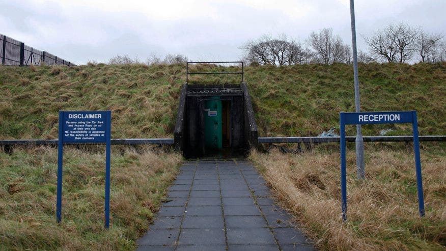
Add your own picture and explain the route, parking, gates, paths or landmarks that help people find it.
Earn 5 points after the picture is checked and accepted.
Add your photo and local directionsShare what you foundWhat is recorded here
Visible as a fragment of an oval area (int. dims c. 60m N-S; c. 40m E-W) defined by cropmarks of two concentric fosse features separated by a berm (Wth c. 15m) SW-N in Lisdaly (max. ext. diam. c. 120m)backing onto a small S-N stream or drain on aerial photographs (GSIAP: M 669-8), but it is barely visible in pasture E of the stream on the same photographs. Situated on a flat, low-lying landscape, it is not visible at ground level in pasture. It has not become visible on other aerial photographic series, and the ground E of the stream in Ballinvilla townland was planted in forestry by 2005 (OSAP). Rath (RO010-066----) is c. 100m to the W.
Compiled by: Michael Moore
Date of revised upload: 21 September 2018
The monument record does not grant public access. Check the route and ask the landowner before entering private land.