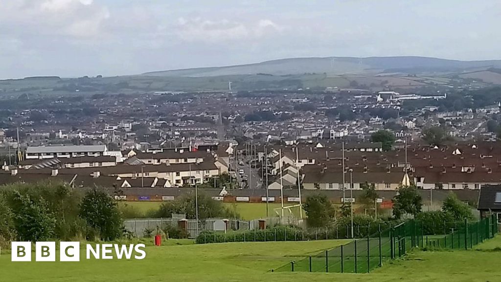
Add your own picture and explain the route, parking, gates, paths or landmarks that help people find it.
Earn 5 points after the picture is checked and accepted.
Add your photo and local directionsShare what you foundWhat is recorded here
On a gentle SW-facing slope. Subcircular grass-covered but poached area (int. dims 57m E-W; 53m N-S) defined by a drystone wall WNW-N, and the intermittently visible footing of the wall elsewhere with mature deciduous trees planted inside the perimeter. There is an earthen bank (Wth 4.8m; int. H 0.6m; ext. H 0.5m) inside the perimeter S-W. The children's burial ground (RO008-015002-) abuts the inner edge of the perimeter at SE.
Compiled by: Michael Moore
Date of upload: 24 August 2010
The monument record does not grant public access. Check the route and ask the landowner before entering private land.