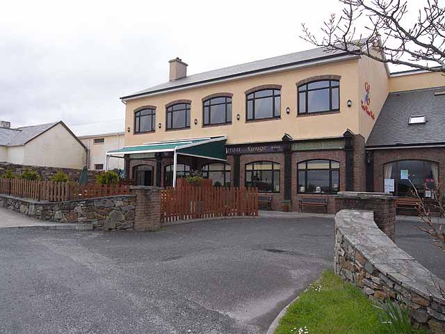
Add your own picture and explain the route, parking, gates, paths or landmarks that help people find it.
Earn 5 points after the picture is checked and accepted.
Add your photo and local directionsShare what you foundWhat is recorded here
At the base of a terrace of rock-outcrop c. 40m NW of Templenadriney church (RO006-083001-). D-shaped depression (dims 2m NW-SE; 1.4m NE-SW; D 1.8-2m) whose upper section is revetted by a drystone wall (Wth 0.5-1m) and the lower part is cut into the natural rock. An outlet flows NNE, but there is no evidence of veneration. Archaeological testing c. 50m to the W in 1999 and c. 170m to NW in 2004 failed to produce any archaeological material (Connolly 2000; Henry 2007). (D'Alton 1845, 72-5)
Compiled by: Michael Moore
Date of upload: 24 August 2010
The monument record does not grant public access. Check the route and ask the landowner before entering private land.